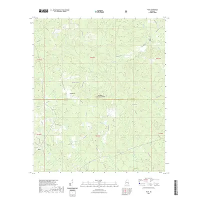
2021 Map of Piave
USGS Topo · Published 2021About this map
Smithtown and the rural community of Piave anchor this section of the Piney Woods, where the boundary between Wayne and Greene counties bisects the De Soto National Forest. The landscape is defined by an intricate network of waterways, including Turkey Fork, Mason Cr, and the curiously named Hell Hole, which drain the timberlands and bottomlands of the region. Family names are deeply embedded in the geography, visible in landmarks like Henderson Cem and Patricks Bridge, as well as the numerous rural roads such as Frank Smith Rd and Pat James Rd that connect isolated homesteads.
Find a feature on this map
59 named features on this map. Tap any name to fly to it.
Don’t see what you’re looking for? This feature index may not catch every label — zoom into the map to look around manually.
Map Details
Editions of this 2021 Piave Map
This is the sole edition of this map. No revisions or reprints were ever made.
Other maps of this area

1953 · Hattiesburg
USGS Topo · 1:250,000

1958 · Hattiesburg
USGS Topo · 1:250,000

1963 · Brewer
USGS Topo · 1:24,000

1964 · Knobtown
USGS Topo · 1:24,000

1964 · Clark
USGS Topo · 1:24,000

1964 · Clara
USGS Topo · 1:24,000

1964 · Mulberry
USGS Topo · 1:24,000

1964 · Buckatunna
USGS Topo · 1:24,000

1964 · Avera
USGS Topo · 1:24,000

1964 · Piave
USGS Topo · 1:24,000