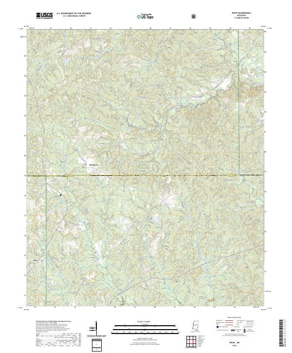
2024 Map of Piave
USGS Topo · Published 2024About this map
Piave and Smithtown anchor this section of south Mississippi, situated where the boundary of De Soto National Forest meets the line between Wayne and Greene Counties. The landscape is defined by a dense network of tributaries including Mason Creek, Turkey Fork, and Griffin Creek, illustrating a classic coastal plain drainage pattern. The distribution of small family roads and local names like S F Swindle Rd, Fred Smith Rd, and Bart Anderson Rd suggests a long-standing pattern of rural landholding and local kinship.
Find a feature on this map
56 named features on this map. Tap any name to fly to it.
Don’t see what you’re looking for? This feature index may not catch every label — zoom into the map to look around manually.
Map Details
Editions of this 2024 Piave Map
This is the sole edition of this map. No revisions or reprints were ever made.
Other maps of this area

1953 · Hattiesburg
USGS Topo · 1:250,000

1958 · Hattiesburg
USGS Topo · 1:250,000

1963 · Brewer
USGS Topo · 1:24,000

1964 · Knobtown
USGS Topo · 1:24,000

1964 · Clark
USGS Topo · 1:24,000

1964 · Clara
USGS Topo · 1:24,000

1964 · Mulberry
USGS Topo · 1:24,000

1964 · Buckatunna
USGS Topo · 1:24,000

1964 · Avera
USGS Topo · 1:24,000

1964 · Piave
USGS Topo · 1:24,000