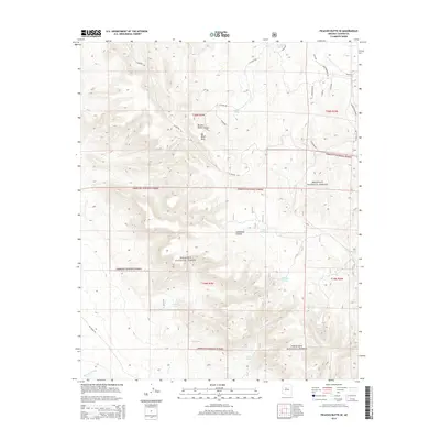
2014 Map of Picacho Butte SE
USGS Topo · Published 2014About this map
Prescott National Forest dominates this section of Yavapai County, where high-altitude mesas and deep drainage systems define the ranching and forest landscape. The massive Big Black Mesa towers over the northern terrain, carved by the sharp descent of Butcher Knife Canyon and Limestone Canyon. This survey captures a specialized water management network essential for livestock and wildlife, featuring named points such as Fritsche Tank, Eddy Tank, and Mexican Tank. At lower elevations, the Big Chino Wash winds through the southwest, while more remote water sources like Pool Seep and Storm Seep are tucked into the drainages. Modern road labels like Beer Drinkings Rd and Juniper Wood Ranch Rd indicate the encroachment of rural residential tracks into the historic range lands.
Find a feature on this map
32 named features on this map. Tap any name to fly to it.
Don’t see what you’re looking for? This feature index may not catch every label — zoom into the map to look around manually.
Map Details
Editions of this 2014 Picacho Butte SE Map
This is the sole edition of this map. No revisions or reprints were ever made.
Other maps of this area
1886 · Chino
USGS Topo · 1:250,000
1887 · Prescott
USGS Topo · 1:250,000
1891 · Chino
USGS Topo · 1:250,000
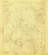
1892 · Prescott
USGS Topo · 1:250,000
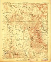
1905 · Jerome
USGS Topo · 1:125,000
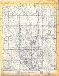
1922 · Williams
USGS Topo · 1:125,000
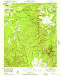
1947 · Ash Fork
USGS Topo · 1:62,500
1947 · Simmons
USGS Topo · 1:62,500
1947 · Picacho Butte
USGS Topo · 1:62,500
1947 · Paulden
USGS Topo · 1:62,500