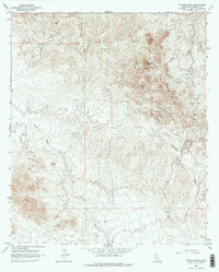
1965 Map of Picacho Peak
USGS Topo · Published 1975About this map
Picacho Mine stands as a primary landmark in this desert landscape of Imperial County, situated near the base of the prominent Picacho Peak. This mid-1960s survey reveals a region defined by complex drainage networks and mineral interests. A small Cem is located northeast of the mine, providing a specific point of interest for family historians researching early mining communities in the Colorado Desert. The terrain is deeply incised by seasonal watercourses, including White Wash, Little Picacho Wash, and the extensive Carrizo Wash. Moving south, the topography transitions toward Pebble Mtn, while a system of jeep trails and primitive roads provides the only access through the arid basins of Gatuna Wash and Bear Canyon. The map records the infrastructure of an active desert interior before more modern developments changed the accessibility of these remote reaches.
Find a feature on this map
14 named features on this map. Tap any name to fly to it.
Don’t see what you’re looking for? This feature index may not catch every label — zoom into the map to look around manually.
Map Details
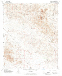
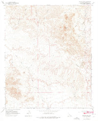
Editions of this 1965 Picacho Peak Map
3 editions found
Other maps of this area

1903 · Yuma
USGS Topo · 1:125,000

1905 · Yuma
USGS Topo · 1:125,000

1942 · Yuma
USGS Topo · 1:250,000

1942 · Blythe
USGS Topo · 1:250,000

1945 · Picacho Peak
USGS Topo · 1:62,500

1945 · Picacho
USGS Topo · 1:62,500

1951 · Picacho
USGS Topo · 1:62,500

1951 · Picacho Peak
USGS Topo · 1:62,500

1952 · Araz
USGS Topo · 1:24,000
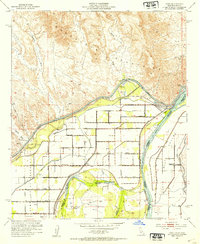
1952 · Bard
USGS Topo · 1:24,000