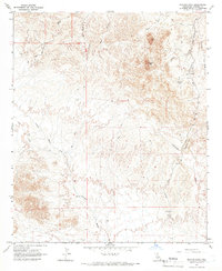
1965 Map of Picacho Peak
USGS Topo · Published 1966About this map
Picacho Peak and the surrounding desert landscape of Imperial County are defined by a complex network of seasonal drainages and mining history. During the mid-1960s, this area remained largely inaccessible, crisscrossed only by a primitive Jeep Trail system that follows the natural contours of the land. The Picacho Mine stands as a primary landmark in the eastern portion of the quadrangle, situated near Little Picacho Wash and a small Cemetery. This proximity of industrial activity and a burial site suggests a localized center of activity in an otherwise sparsely populated region.
Find a feature on this map
15 named features on this map. Tap any name to fly to it.
Don’t see what you’re looking for? This feature index may not catch every label — zoom into the map to look around manually.
Map Details
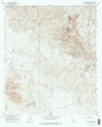
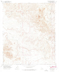
Editions of this 1965 Picacho Peak Map
3 editions found
Other maps of this area

1903 · Yuma
USGS Topo · 1:125,000

1905 · Yuma
USGS Topo · 1:125,000

1942 · Yuma
USGS Topo · 1:250,000

1942 · Blythe
USGS Topo · 1:250,000

1945 · Picacho Peak
USGS Topo · 1:62,500

1945 · Picacho
USGS Topo · 1:62,500

1951 · Picacho
USGS Topo · 1:62,500

1951 · Picacho Peak
USGS Topo · 1:62,500

1952 · Araz
USGS Topo · 1:24,000
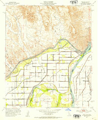
1952 · Bard
USGS Topo · 1:24,000