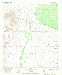
1966 Map of Picacho Reservoir SE
USGS Topo · Published 1969About this map
The Picacho Mountains and Granite Hills dominate the western portion of this mid-1960s desert landscape, where mineral extraction and ranching infrastructure define the few points of human activity. Resource exploration is evident at the North Star Mine and another unnamed Mine tucked into the slopes, while a nearby Landing Strip provided essential aerial access to this arid terrain.
Find a feature on this map
17 named features on this map. Tap any name to fly to it.
Don’t see what you’re looking for? This feature index may not catch every label — zoom into the map to look around manually.
Map Details
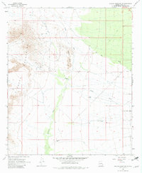
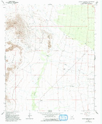
Editions of this 1966 Picacho Reservoir SE Map
3 editions found
Other maps of this area

1922 · Red Rock No 2
USGS Topo · 1:48,000

1934 · Newman Peak
USGS Topo · 1:125,000

1947 · Red Rock
USGS Topo · 1:62,500

1956 · Tucson
USGS Topo · 1:250,000

1958 · Tucson
USGS Topo · 1:250,000

1959 · Tucson
USGS Topo · 1:250,000

1959 · Tortolita Mts
USGS Topo · 1:62,500

1962 · Tucson
USGS Topo · 1:250,000
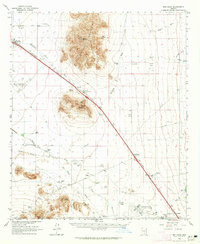
1963 · Red Rock
USGS Topo · 1:62,500

1964 · Tucson
USGS Topo · 1:250,000