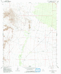
1966 Map of Picacho Reservoir SE
USGS Topo · Published 1993About this map
The Picacho Mountains and Granite Hills dominate this arid landscape in central Arizona, where mining activity and ranching intersect with seasonal watercourses. Prospecting is evident along the northwestern slopes, anchored by the North Star Mine and other unnamed mines accessed by rugged 4wd trails. These desert elevations give way to broad alluvial plains etched by drainage systems like Brady Wash and the curiously named Tom Mix Wash.
Find a feature on this map
18 named features on this map. Tap any name to fly to it.
Don’t see what you’re looking for? This feature index may not catch every label — zoom into the map to look around manually.
Map Details
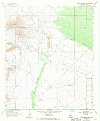
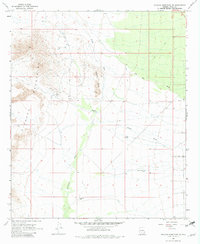
Editions of this 1966 Picacho Reservoir SE Map
3 editions found
Other maps of this area

1922 · Red Rock No 2
USGS Topo · 1:48,000

1934 · Newman Peak
USGS Topo · 1:125,000

1947 · Red Rock
USGS Topo · 1:62,500

1956 · Tucson
USGS Topo · 1:250,000

1958 · Tucson
USGS Topo · 1:250,000

1959 · Tucson
USGS Topo · 1:250,000

1959 · Tortolita Mts
USGS Topo · 1:62,500

1962 · Tucson
USGS Topo · 1:250,000
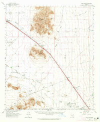
1963 · Red Rock
USGS Topo · 1:62,500

1964 · Tucson
USGS Topo · 1:250,000