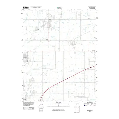
2010 Map of Picher
USGS Topo · Published 2010About this map
Picher and Commerce anchor this northeastern Oklahoma landscape, a region defined by its history as a center of zinc and lead mining. The grid of streets in Picher stands in contrast to the numerous scattered settlements that once supported local industry, including Zincville, Cardin, and Douthat. This 2010 survey shows the area at a critical juncture, noting the extensive network of county roads like E 40 RD and S 590 RD that connect these mining towns to the tribal lands and agriculture of the surrounding plains. To the east, the map details the town of Quapaw and the Indian Cemetery, reflecting the cultural heritage of the Quapaw Nation. Waterways such as Tar Creek and Little Elm Creek meander across the terrain, passing through a patchwork of rural holdings and small communities like Hockerville and Lincolnville near the Kansas border.
Find a feature on this map
44 named features on this map. Tap any name to fly to it.
Don’t see what you’re looking for? This feature index may not catch every label — zoom into the map to look around manually.
Map Details
Editions of this 2010 Picher Map
This is the sole edition of this map. No revisions or reprints were ever made.
Other maps of this area

1886 · Joplin
USGS Topo · 1:125,000

1894 · Joplin
USGS Topo · 1:125,000

1907 · Wyandotte
USGS Topo · 1:125,000

1909 · Wyandotte
USGS Topo · 1:125,000

1918 · Columbus
USGS Topo · 1:62,500

1947 · Joplin
USGS Topo · 1:250,000

1949 · Joplin
USGS Topo · 1:250,000

1954 · Tulsa
USGS Topo · 1:250,000

1954 · Joplin
USGS Topo · 1:250,000

1958 · Joplin
USGS Topo · 1:250,000