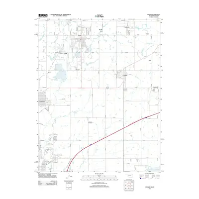
2012 Map of Picher
USGS Topo · Published 2012About this map
Picher and its surrounding communities are shown here during a significant period of transition in Oklahoma's Tri-State District. The map details a dense network of local roads such as S Main St and Ottawa St that once connected the mining-era towns of Zincville, Hockerville, Cardin, and Douthat. This layout illustrates the unique residential and industrial clustering characteristic of the region, where homes were historically built in close proximity to the lead and zinc works. To the south, the expansion of Commerce and the campus of Northeastern Oklahoma A & M College contrast with the rural grid patterns near Quapaw. Local heritage is anchored by the Indian Cem and Peery Cem, while the course of Tar Cr and the presence of Grand Lake O the Cherokees at the southern edge provide a glimpse into the watershed that defined the local geography.
Find a feature on this map
121 named features on this map. Tap any name to fly to it.
Don’t see what you’re looking for? This feature index may not catch every label — zoom into the map to look around manually.
Map Details
Editions of this 2012 Picher Map
This is the sole edition of this map. No revisions or reprints were ever made.
Other maps of this area

1886 · Joplin
USGS Topo · 1:125,000

1894 · Joplin
USGS Topo · 1:125,000

1907 · Wyandotte
USGS Topo · 1:125,000

1909 · Wyandotte
USGS Topo · 1:125,000

1918 · Columbus
USGS Topo · 1:62,500

1947 · Joplin
USGS Topo · 1:250,000

1949 · Joplin
USGS Topo · 1:250,000

1954 · Tulsa
USGS Topo · 1:250,000

1954 · Joplin
USGS Topo · 1:250,000

1958 · Joplin
USGS Topo · 1:250,000