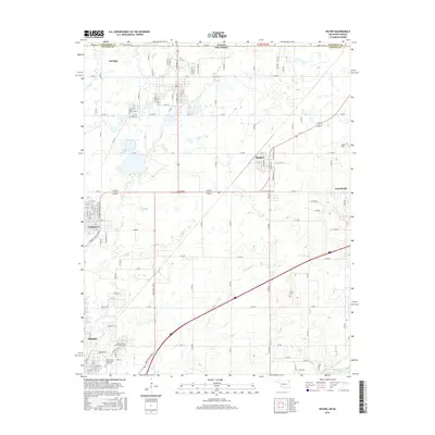
2016 Map of Picher
USGS Topo · Published 2016About this map
Miami and the surrounding Tri-State district landscape are captured here in 2016, showing a region defined by its industrial history and educational institutions. The northern reach of the Northeastern Oklahoma A & M Coll campus sits near the southern edge, while the town of Picher occupies the northern border along the Kansas Oklahoma state line. This area is crisscrossed by a dense network of rural roads like S 590 RD and significant transit corridors including Mickey Mantle Blvd, named for the local baseball legend from Commerce.
Find a feature on this map
52 named features on this map. Tap any name to fly to it.
Don’t see what you’re looking for? This feature index may not catch every label — zoom into the map to look around manually.
Map Details
Editions of this 2016 Picher Map
This is the sole edition of this map. No revisions or reprints were ever made.
Other maps of this area
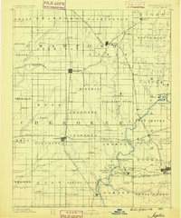
1886 · Joplin
USGS Topo · 1:125,000
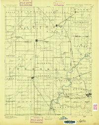
1894 · Joplin
USGS Topo · 1:125,000
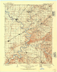
1907 · Wyandotte
USGS Topo · 1:125,000
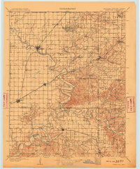
1909 · Wyandotte
USGS Topo · 1:125,000
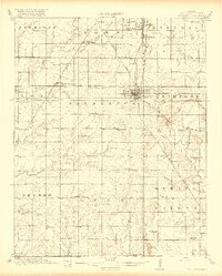
1918 · Columbus
USGS Topo · 1:62,500

1947 · Joplin
USGS Topo · 1:250,000
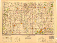
1949 · Joplin
USGS Topo · 1:250,000

1954 · Tulsa
USGS Topo · 1:250,000
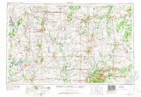
1954 · Joplin
USGS Topo · 1:250,000
1958 · Joplin
USGS Topo · 1:250,000