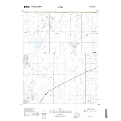
2018 Map of Picher
USGS Topo · Published 2018About this map
The City of Treece and Quapaw define the borderlands of the Oklahoma-Kansas state line in this 2018 survey. The landscape is marked by the complex drainage systems of Tar Cr and Garrett Cr, which flow through areas historically significant for their industrial and mining footprints. The southern portion of the map transitions into the municipal outskirts of Miami, showing a grid of residential streets such as Elm St and Rockdale Blvd.
Find a feature on this map
95 named features on this map. Tap any name to fly to it.
Don’t see what you’re looking for? This feature index may not catch every label — zoom into the map to look around manually.
Map Details
Editions of this 2018 Picher Map
This is the sole edition of this map. No revisions or reprints were ever made.
Other maps of this area

1886 · Joplin
USGS Topo · 1:125,000

1894 · Joplin
USGS Topo · 1:125,000

1907 · Wyandotte
USGS Topo · 1:125,000

1909 · Wyandotte
USGS Topo · 1:125,000

1918 · Columbus
USGS Topo · 1:62,500

1947 · Joplin
USGS Topo · 1:250,000

1949 · Joplin
USGS Topo · 1:250,000

1954 · Tulsa
USGS Topo · 1:250,000

1954 · Joplin
USGS Topo · 1:250,000

1958 · Joplin
USGS Topo · 1:250,000