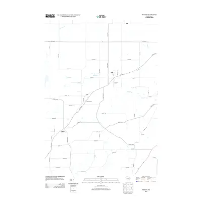
2013 Map of Pickett
USGS Topo · Published 2013About this map
The agrarian landscape of Winnebago County is defined by a network of rural hamlets and township roads, centered around the settlement of Pickett. Positioned at the junction of State Road 44 and County Hwy-M, this area represents the steady character of Wisconsin's dairy and farming country. The map traces small communities such as Elo, Fisk, and Ring, each serving as local nodes for the surrounding farmsteads.
Find a feature on this map
50 named features on this map. Tap any name to fly to it.
Don’t see what you’re looking for? This feature index may not catch every label — zoom into the map to look around manually.
Map Details
Editions of this 2013 Pickett Map
This is the sole edition of this map. No revisions or reprints were ever made.
Other maps of this area

1916 · Ripon
USGS Topo · 1:48,000

1918 · Ripon
USGS Topo · 1:62,500

1955 · Green Bay
USGS Topo · 1:250,000

1956 · Ripon
USGS Topo · 1:62,500

1956 · Rosendale
USGS Topo · 1:62,500

1957 · Madison
USGS Topo · 1:250,000

1960 · Madison
USGS Topo · 1:250,000

1961 · Oshkosh
USGS Topo · 1:24,000

1961 · Poy Sippi
USGS Topo · 1:62,500

1961 · Oshkosh
USGS Topo · 1:62,500