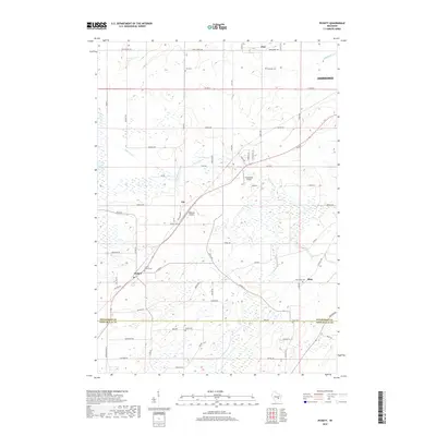
2018 Map of Pickett
USGS Topo · Published 2018About this map
Pickett and the surrounding agricultural landscapes of southern Winnebago Co and northern Fond Du Lac Co are detailed in this modern topographical study. The region is defined by a dense network of country roads and family-named landmarks, reflecting a persistent rural character. Small rural clusters like Elo, Zion, and Ring serve as historical anchors for the local farming community. Genealogists will find significant value in the distribution of local burial grounds, including Liberty Prairie Cem, Bethesda Cem, and Zoar Cem, which are scattered throughout the township. The landscape is drained by several small watercourses, notably Eightmile Creek and Sawyer Cr, while aviation heritage is represented by Planeacres Airport and Williams Airport. This survey provides a precise accounting of land use and property boundaries during the late 2010s, showing the ongoing integration of residential lanes and arterial county roads.
Find a feature on this map
65 named features on this map. Tap any name to fly to it.
Don’t see what you’re looking for? This feature index may not catch every label — zoom into the map to look around manually.
Map Details
Editions of this 2018 Pickett Map
This is the sole edition of this map. No revisions or reprints were ever made.
Other maps of this area

1916 · Ripon
USGS Topo · 1:48,000

1918 · Ripon
USGS Topo · 1:62,500

1955 · Green Bay
USGS Topo · 1:250,000

1956 · Ripon
USGS Topo · 1:62,500

1956 · Rosendale
USGS Topo · 1:62,500

1957 · Madison
USGS Topo · 1:250,000

1960 · Madison
USGS Topo · 1:250,000

1961 · Oshkosh
USGS Topo · 1:24,000

1961 · Poy Sippi
USGS Topo · 1:62,500

1961 · Oshkosh
USGS Topo · 1:62,500