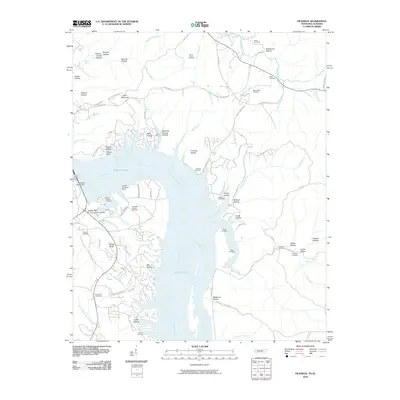
2010 Map of Pickwick
USGS Topo · Published 2010About this map
Pickwick Lake and the Tennessee River dominate this 2010 landscape, where the massive Pickwick Landing Dam serves as a central infrastructure hub along the border of Tennessee and Alabama. The map reveals a complex shoreline of inlets and branches, including Sulphur Creek and Bruton Branch, that have reshaped the local geography. Significant for genealogists, the map documents numerous rural burial sites such as the Shanghai Cemeteries, Burnt Stand Cemetery, and the Old White Sulphur Cemetery. The terrain is defined by its many named hollows and ridges, from Sand Mountain to the depths of Mill Hollow, illustrating the diverse topography surrounding the impounded waters. Residential and recreational development is evident in the network of small roads like Bryson Harbor Rd and Fairway Ln that provide access to the waterfront.
Find a feature on this map
101 named features on this map. Tap any name to fly to it.
Don’t see what you’re looking for? This feature index may not catch every label — zoom into the map to look around manually.
Map Details
Editions of this 2010 Pickwick Map
This is the sole edition of this map. No revisions or reprints were ever made.
Other maps of this area

1911 · Iuka
USGS Topo · 1:48,000

1914 · Iuka
USGS Topo · 1:62,500

1935 · Doskie
USGS Topo · 1:24,000

1936 · Savannah
USGS Topo · 1:24,000

1936 · Wolf Pit Ridge
USGS Topo · 1:24,000

1936 · Waterloo
USGS Topo · 1:24,000

1936 · Counce
USGS Topo · 1:24,000

1936 · Shaws
USGS Topo · 1:24,000

1936 · Pickwick
USGS Topo · 1:24,000

1936 · Lowryville
USGS Topo · 1:24,000