
2013 Map of Pickwick
USGS Topo · Published 2013About this map
Pickwick Dam anchors this stretch of the Tennessee River, where the waters expand into the broad reach of Kentucky Lake. The landscape is defined by a dense network of named hollows and ridges, such as Sulphur Spring Hollow and Chimney Hollow, which drain into numerous creeks feeding the river. Along the eastern shoreline, the settlement of Bruton Branch and developments like Holiday Hills show the residential and recreational footprint near the water, while the Hardin Company Dock points to the area's river-based logistics.
Find a feature on this map
163 named features on this map. Tap any name to fly to it.
Don’t see what you’re looking for? This feature index may not catch every label — zoom into the map to look around manually.
Map Details
Editions of this 2013 Pickwick Map
This is the sole edition of this map. No revisions or reprints were ever made.
Other maps of this area
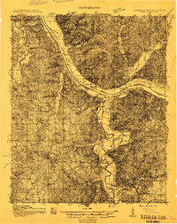
1911 · Iuka
USGS Topo · 1:48,000
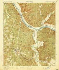
1914 · Iuka
USGS Topo · 1:62,500
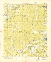
1935 · Doskie
USGS Topo · 1:24,000
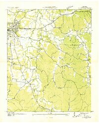
1936 · Savannah
USGS Topo · 1:24,000
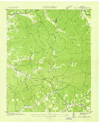
1936 · Wolf Pit Ridge
USGS Topo · 1:24,000
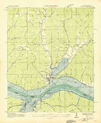
1936 · Waterloo
USGS Topo · 1:24,000
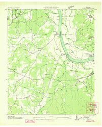
1936 · Counce
USGS Topo · 1:24,000
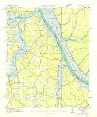
1936 · Shaws
USGS Topo · 1:24,000
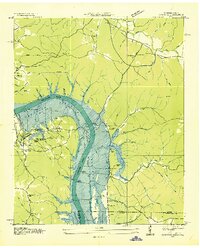
1936 · Pickwick
USGS Topo · 1:24,000
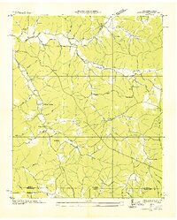
1936 · Lowryville
USGS Topo · 1:24,000