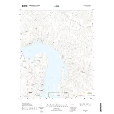
2019 Map of Pickwick
USGS Topo · Published 2019About this map
Pickwick Lake and the Tennessee River dominate this borderland where Hardin County, Tennessee meets Lauderdale County, Alabama. The landscape is defined by its numerous springs and family-named hollows, including Red Sulphur Springs and Mount Tabor Spring. For genealogists, the map is remarkably dense with small burial grounds, from the Shanghai Cemeteries in the southwest to the Morris Cem and Ross Cem in the north.
Find a feature on this map
82 named features on this map. Tap any name to fly to it.
Don’t see what you’re looking for? This feature index may not catch every label — zoom into the map to look around manually.
Map Details
Editions of this 2019 Pickwick Map
This is the sole edition of this map. No revisions or reprints were ever made.
Other maps of this area
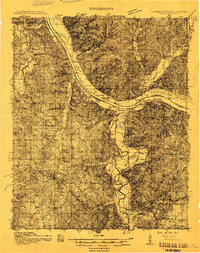
1911 · Iuka
USGS Topo · 1:48,000
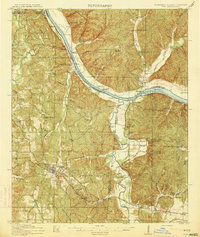
1914 · Iuka
USGS Topo · 1:62,500
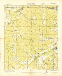
1935 · Doskie
USGS Topo · 1:24,000
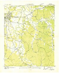
1936 · Savannah
USGS Topo · 1:24,000
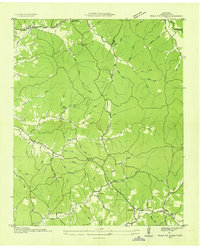
1936 · Wolf Pit Ridge
USGS Topo · 1:24,000
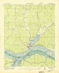
1936 · Waterloo
USGS Topo · 1:24,000
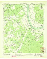
1936 · Counce
USGS Topo · 1:24,000
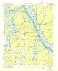
1936 · Shaws
USGS Topo · 1:24,000
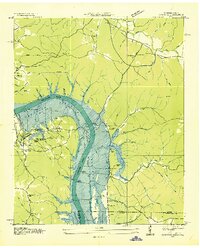
1936 · Pickwick
USGS Topo · 1:24,000
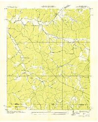
1936 · Lowryville
USGS Topo · 1:24,000