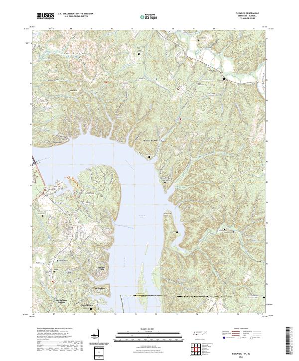
2022 Map of Pickwick
USGS Topo · Published 2022About this map
Pickwick Lake and the Tennessee River dominate this modern topographic view of the borderlands between Tennessee and Alabama. The terrain is defined by a dense network of hollows, including Tanyard Hollow, Fisher Hollow, and Coney Hollow, which drain toward the central waterway. Local history is anchored by several residential and recreational settlements like Red Sulphur Springs, Holiday Hills, and Winn Springs, alongside numerous community landmarks such as Our Lady of the Lake Mission Columbarium. Genealogical interest is found in the many family and community burial sites, from White Sulphur Cem to the Hitchcock Cem. Notable natural features like Rainbow Falls and the high vantage point at Sand Mtn sit amidst a complex of winding roads and local landmarks like Turkey Knob, illustrating the contemporary landscape of this river-centered region.
Find a feature on this map
159 named features on this map. Tap any name to fly to it.
Don’t see what you’re looking for? This feature index may not catch every label — zoom into the map to look around manually.
Map Details
Editions of this 2022 Pickwick Map
This is the sole edition of this map. No revisions or reprints were ever made.
Other maps of this area

1911 · Iuka
USGS Topo · 1:48,000

1914 · Iuka
USGS Topo · 1:62,500

1935 · Doskie
USGS Topo · 1:24,000

1936 · Savannah
USGS Topo · 1:24,000

1936 · Wolf Pit Ridge
USGS Topo · 1:24,000

1936 · Waterloo
USGS Topo · 1:24,000

1936 · Counce
USGS Topo · 1:24,000

1936 · Shaws
USGS Topo · 1:24,000

1936 · Pickwick
USGS Topo · 1:24,000

1936 · Lowryville
USGS Topo · 1:24,000