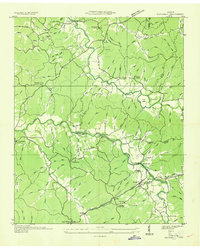
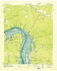
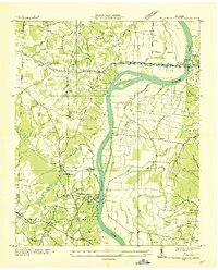
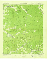
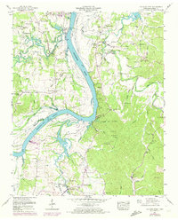
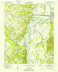
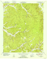
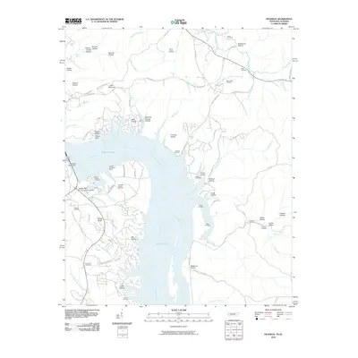
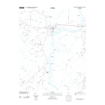
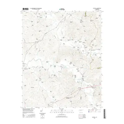
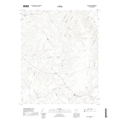
1972 Map of Pickwick
USGS Topo · Published 1988About this map
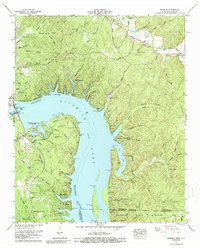
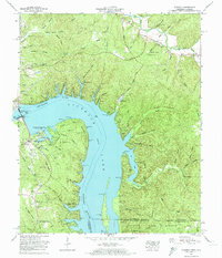
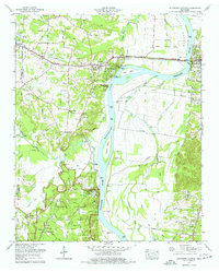
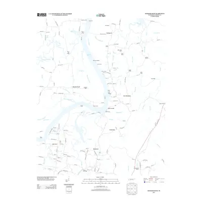
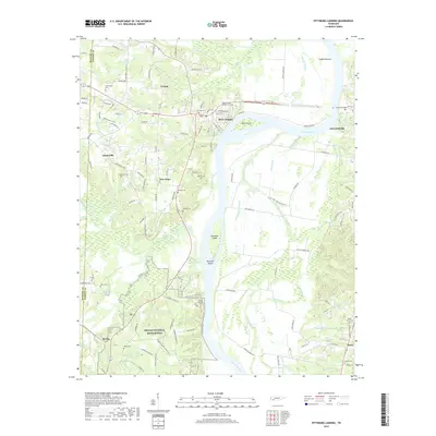
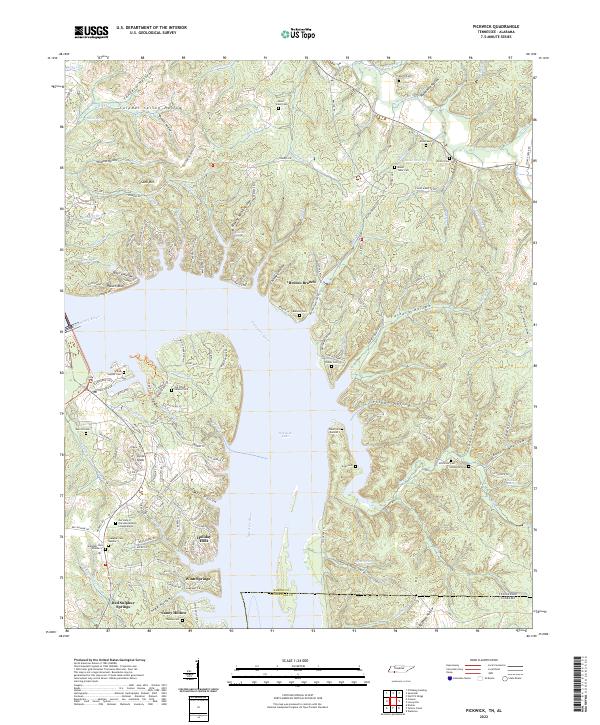
Pickwick Landing Dam stands as the central landmark of this 1972 survey, anchoring the Tennessee River as it crosses between Tennessee and Alabama. This era of the reservoir's development is marked by the established facilities of Pickwick Landing State Park, including a golf course and campground, alongside the working infrastructure of the filtration plant and Hardin Co Dock. The landscape is defined by the transformation of former creek valleys into deep inlets like Bruton Branch and Blowing Spring Hollow.
Find a feature on this map
103 named features on this map. Tap any name to fly to it.
Don’t see what you’re looking for? This feature index may not catch every label — zoom into the map to look around manually.
Map Details
Editions of this 1972 Pickwick Map
2 editions found
Historical Maps of Caney Hollow Through Time
47 maps found
1936 Hookers Bend
Hardin County, TN
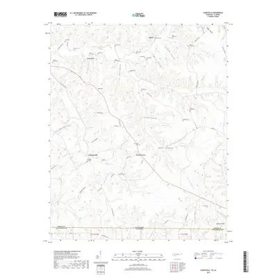
1936 Lowryville
Hardin County, TN
1936 Olivehill
Hardin County, TN
1936 Pickwick
Hardin County, TN
1936 Pittsburg Landing
Hardin County, TN
1936 Wolf Pit Ridge
Hardin County, TN
1949 Hookers Bend
Hardin County, TN
1949 Lowryville
Hardin County, TN
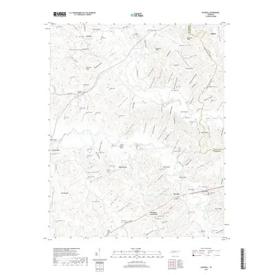
1949 Olivehill
Hardin County, TN
1949 Pickwick
Hardin County, TN
1949 Pittsburg Landing
Hardin County, TN
1949 Wolf Pit Ridge
Hardin County, TN
1952 Lowryville
Hardin County, TN
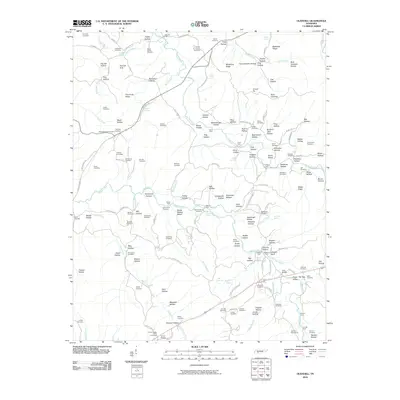
1952 Pickwick
Hardin County, TN
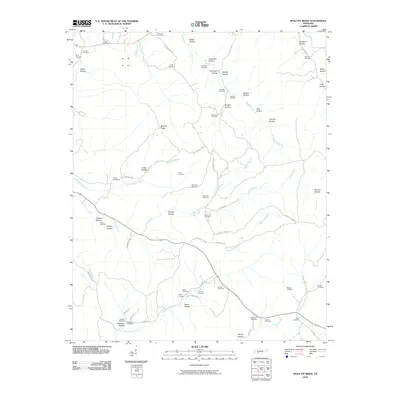
1952 Wolf Pit Ridge
Hardin County, TN
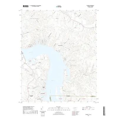
1972 Pickwick
Hardin County, TN
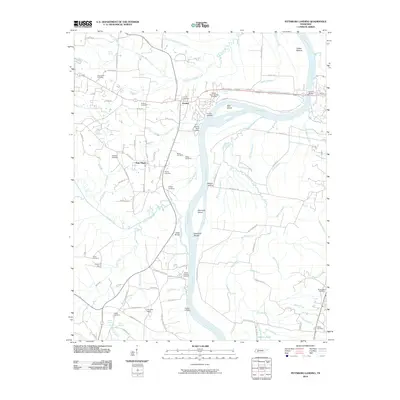
1972 Pittsburg Landing
Hardin County, TN
2010 Hookers Bend
Hardin County, TN
2010 Lowryville
Hardin County, TN
2010 Olivehill
Hardin County, TN
2010 Pickwick
Hardin County, TN
2010 Pittsburg Landing
Hardin County, TN
2010 Wolf Pit Ridge
Hardin County, TN
2013 Hookers Bend
Hardin County, TN
2013 Lowryville
Hardin County, TN
2013 Olivehill
Hardin County, TN
2013 Pickwick
Hardin County, TN
2013 Pittsburg Landing
Hardin County, TN
2013 Wolf Pit Ridge
Hardin County, TN
2016 Hookers Bend
Hardin County, TN
2016 Lowryville
Hardin County, TN
2016 Olivehill
Hardin County, TN

2016 Pickwick
Hardin County, TN
2016 Pittsburg Landing
Hardin County, TN
2016 Wolf Pit Ridge
Hardin County, TN
2019 Hookers Bend
Hardin County, TN
2019 Lowryville
Hardin County, TN
2019 Olivehill
Hardin County, TN
2019 Pickwick
Hardin County, TN
2019 Pittsburg Landing
Hardin County, TN
2019 Wolf Pit Ridge
Hardin County, TN
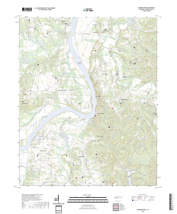
2022 Hookers Bend
Hardin County, TN
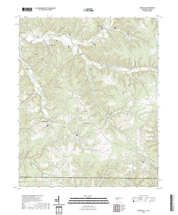
2022 Lowryville
Hardin County, TN
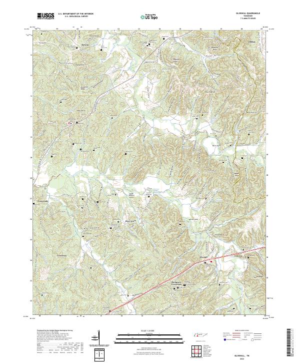
2022 Olivehill
Hardin County, TN
2022 Pickwick
Hardin County, TN
2022 Pittsburg Landing
Hardin County, TN
2022 Wolf Pit Ridge
Hardin County, TN