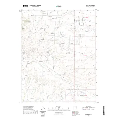
2023 Map of Picture Rock
USGS Topo · Published 2023About this map
Cerrillos and the nearby historic mining district define this high-desert landscape south of Santa Fe. The settlement, also identified as Los Cerrillos, sits near the banks of Galisteo Creek, where the local topography transitions into the Cerrillos Hills and peaks like Mount Chalchihuitl. Genealogists will find interest in the distinct Cerrillos Catholic Cem and Cerrillos Protestant Cem located on the western edge of town. The area's complex drainage network is clearly visible through features like San Marcos Arroyo and Gallina Arroyo, which flow toward the Cerrillos Reservoir. Northward, the settlement of Picture Rock and the unique geological formation of the Garden of the Gods offer insight into the local character of the terrain. The map also documents numerous family-named roads and trails like Bonanza Creek Rd, hinting at the region's long history of mineral exploration and ranching.
Find a feature on this map
97 named features on this map. Tap any name to fly to it.
Don’t see what you’re looking for? This feature index may not catch every label — zoom into the map to look around manually.
Map Details
Editions of this 2023 Picture Rock Map
This is the sole edition of this map. No revisions or reprints were ever made.
Other maps of this area

1889 · Santa Fe
USGS Topo · 1:125,000

1892 · San Pedro
USGS Topo · 1:125,000

1892 · Santa Clara
USGS Topo · 1:125,000

1894 · Santa Fe
USGS Topo · 1:125,000

1894 · Lamy
USGS Topo · 1:125,000

1951 · Turquoise Hill
USGS Topo · 1:24,000

1952 · Turquoise Hill
USGS Topo · 1:24,000

1952 · Seton Village
USGS Topo · 1:24,000

1953 · Tetilla Peak
USGS Topo · 1:24,000

1953 · Agua Fria
USGS Topo · 1:62,500