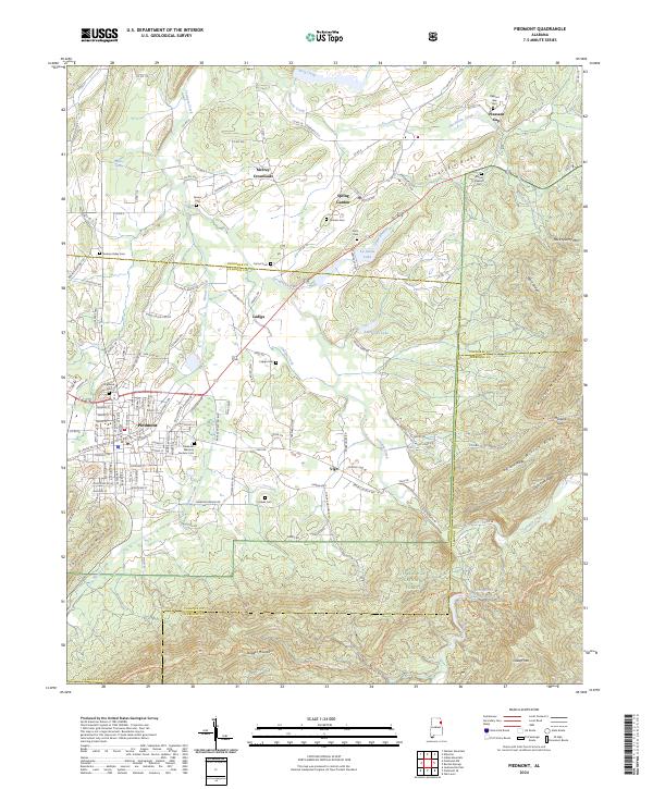
2024 Map of Piedmont
USGS Topo · Published 2024About this map
Piedmont serves as the primary hub in this corner of Northeast Alabama, where the rising elevations of Choccolocco Mountain and the Dugger Mountain Wilderness meet the valley floor. The settlement pattern reflects a long history of rural community centers, with places like Ladiga, Spring Garden, and McFrey Crossroads anchoring the surrounding agricultural and timber lands. Numerous family and community burial grounds, such as Pleasant Gap Cem and Goshen Valley Cem, are scattered across the landscape, providing essential points of reference for genealogical research.
Find a feature on this map
154 named features on this map. Tap any name to fly to it.
Don’t see what you’re looking for? This feature index may not catch every label — zoom into the map to look around manually.
Map Details
Editions of this 2024 Piedmont Map
This is the sole edition of this map. No revisions or reprints were ever made.
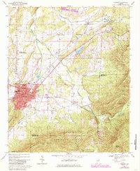
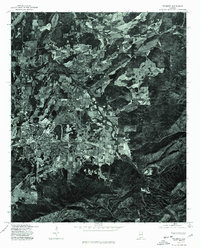
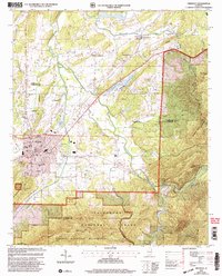
Historical Maps of Philadelphia Through Time
4 maps found