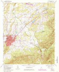
1967 Map of Piedmont
USGS Topo · Published 1985About this map
Piedmont serves as the industrial and civic anchor of this region, shown here at a mid-century crossroads as both the Southern and Seaboard Coast Line railroads intersect within its borders. The map details the town’s infrastructure, from the Armory and City Hall to the Radio Tower (WPID) and Bethune High School. To the north and east, the landscape transitions from the developed valley into the steep terrain of the Talladega National Forest, dominated by the heights of Dugger Mountain and Oakey Mountain.
Find a feature on this map
54 named features on this map. Tap any name to fly to it.
Don’t see what you’re looking for? This feature index may not catch every label — zoom into the map to look around manually.
Map Details
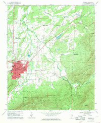
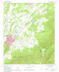
Editions of this 1967 Piedmont Map
3 editions found
Other maps of this area

1886 · Rome
USGS Topo · 1:125,000

1889 · Tallapoosa
USGS Topo · 1:125,000

1892 · Tallapoosa
USGS Topo · 1:125,000

1893 · Fort Payne
USGS Topo · 1:125,000

1897 · Tallapoosa
USGS Topo · 1:125,000

1898 · Rome
USGS Topo · 1:125,000

1898 · Fort Payne
USGS Topo · 1:125,000

1899 · Rome
USGS Topo · 1:125,000

1900 · Fort Payne
USGS Topo · 1:125,000

1900 · Anniston
USGS Topo · 1:125,000