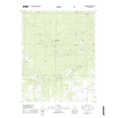
2017 Map of Piedmont Hollow
USGS Topo · Published 2017About this map
The Eleven Point River carves a winding path through this corner of the Ozarks, dominated by the dense timber of the Mark Twain National Forest. The landscape is a complex network of ridges and deep ravines, characterized by local family and descriptive names such as Granddaddy Ridge, Hog Hollow, and Devils Backbone. This terrain is rich in karst features, including numerous named springs and water bodies like Roaring Spring, Blubbing Springs, and the uniquely named Tupelo Gum Pond.
Find a feature on this map
73 named features on this map. Tap any name to fly to it.
Don’t see what you’re looking for? This feature index may not catch every label — zoom into the map to look around manually.
Map Details
Editions of this 2017 Piedmont Hollow Map
This is the sole edition of this map. No revisions or reprints were ever made.
Other maps of this area
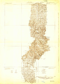
1931 · Bandyville
USGS Topo · 1:48,000
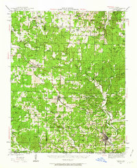
1943 · Thayer
USGS Topo · 1:62,500
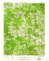
1944 · Couch
USGS Topo · 1:62,500
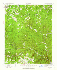
1944 · Birch Tree
USGS Topo · 1:62,500
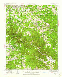
1945 · Montier
USGS Topo · 1:62,500
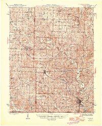
1946 · Thayer
USGS Topo · 1:62,500
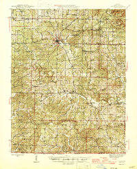
1946 · Couch
USGS Topo · 1:62,500
1948 · Montier
USGS Topo · 1:62,500
1948 · Birch Tree
USGS Topo · 1:62,500
1957 · Poplar Bluff
USGS Topo · 1:250,000