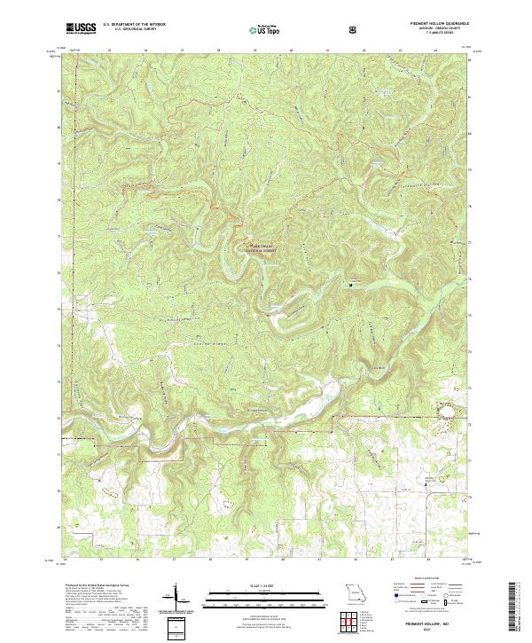
2021 Map of Piedmont Hollow
USGS Topo · Published 2021About this map
The Eleven Point Wild and Scenic River snakes across the southern portion of this landscape, its path marked by significant aquatic features like Roaring Spring and Graham Spring. This modern survey of the Mark Twain National Forest reveals a terrain defined by its complex hydrology and ridges, where named springs such as Paty Spring and Thompson Spring feed into the watershed. The area’s human history is preserved through the locations of the Spring Creek Cem and Hickory Grove Cem, providing valuable touchpoints for genealogists. Prominent landforms such as Cane Bluff and the Devils Backbone ridge contrast with deep depressions like Piedmont Hollow and Johnson Hollow. This network of hollows and ridges, including the distinct Grandaddy Ridge, illustrates the topographic character of Oregon County before the influence of extensive modern development.
Find a feature on this map
66 named features on this map. Tap any name to fly to it.
Don’t see what you’re looking for? This feature index may not catch every label — zoom into the map to look around manually.
Map Details
Editions of this 2021 Piedmont Hollow Map
This is the sole edition of this map. No revisions or reprints were ever made.
Other maps of this area

1931 · Bandyville
USGS Topo · 1:48,000

1943 · Thayer
USGS Topo · 1:62,500

1944 · Couch
USGS Topo · 1:62,500

1944 · Birch Tree
USGS Topo · 1:62,500

1945 · Montier
USGS Topo · 1:62,500

1946 · Thayer
USGS Topo · 1:62,500

1946 · Couch
USGS Topo · 1:62,500

1948 · Montier
USGS Topo · 1:62,500

1948 · Birch Tree
USGS Topo · 1:62,500

1957 · Poplar Bluff
USGS Topo · 1:250,000