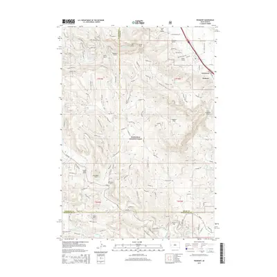
2015 Map of Piedmont
USGS Topo · Published 2015About this map
Piedmont and the growing community of Summerset anchor the eastern edge of this landscape, where the prairie meets the rising slopes of the Black Hills National Forest. The map detail captures a complex network of canyons and gulches, including Stagebarn Canyon, Erskine Gulch, and Chimney Canyon, which define the drainage patterns toward the plains. To the west, the winding Centennial Trail follows the high ground near Dalton Lake, while the southern reaches are marked by the convergence of the three branches of Bogus Jim Creek—N Bogus Jim Cr, Middle Bogus Jim Cr, and Bogus Jim Cr. Cultural landmarks such as Paradise Valley Airport and geological features like Steamboat Rock and Custer Gap illustrate how the terrain has dictated human transit and settlement. The inclusion of sites like Red Gate and White Gate provides specific points of interest for those tracing land use and property boundaries in this part of Meade County.
Find a feature on this map
77 named features on this map. Tap any name to fly to it.
Don’t see what you’re looking for? This feature index may not catch every label — zoom into the map to look around manually.
Map Details
Editions of this 2015 Piedmont Map
This is the sole edition of this map. No revisions or reprints were ever made.
Other maps of this area
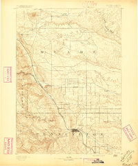
1893 · Rapid
USGS Topo · 1:125,000
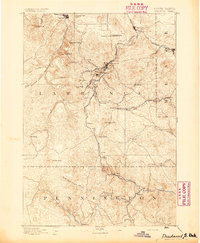
1894 · Deadwood
USGS Topo · 1:125,000
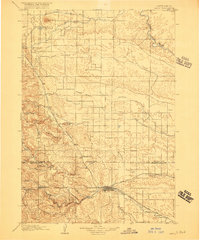
1898 · Rapid
USGS Topo · 1:125,000
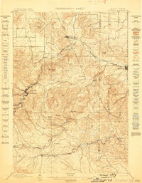
1899 · Sturgis
USGS Topo · 1:62,500
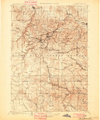
1901 · Deadwood
USGS Topo · 1:125,000
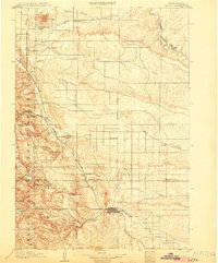
1903 · Rapid
USGS Topo · 1:125,000
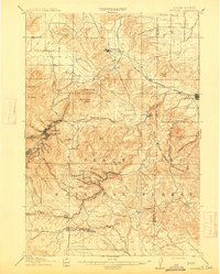
1915 · Sturgis
USGS Topo · 1:62,500
1916 · Deadwood
USGS Topo · 1:125,000
1953 · Blackhawk
USGS Topo · 1:24,000
1953 · Piedmont
USGS Topo · 1:24,000