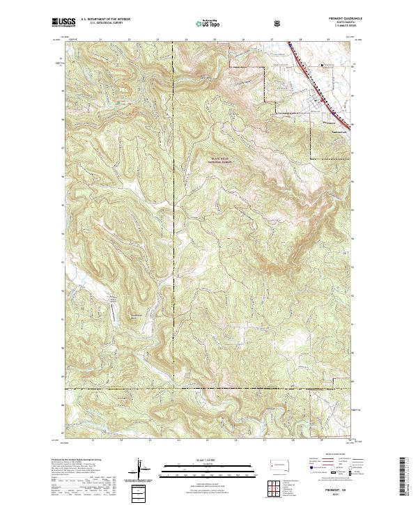
2021 Map of Piedmont
USGS Topo · Published 2021About this map
The eastern front of the Black Hills is clearly defined on this survey, where the prairie meets the rising terrain of the Black Hills National Forest. The growing communities of Piedmont and Summerset occupy the lower elevations along the eastern margin, while the interior is dominated by a complex network of canyons and gulches. Significant landmarks include the high point of Green Mountain and the distinct geological feature of Steamboat Rock.
Find a feature on this map
147 named features on this map. Tap any name to fly to it.
Don’t see what you’re looking for? This feature index may not catch every label — zoom into the map to look around manually.
Map Details
Editions of this 2021 Piedmont Map
This is the sole edition of this map. No revisions or reprints were ever made.
Other maps of this area

1893 · Rapid
USGS Topo · 1:125,000

1894 · Deadwood
USGS Topo · 1:125,000

1898 · Rapid
USGS Topo · 1:125,000

1899 · Sturgis
USGS Topo · 1:62,500

1901 · Deadwood
USGS Topo · 1:125,000

1903 · Rapid
USGS Topo · 1:125,000

1915 · Sturgis
USGS Topo · 1:62,500

1916 · Deadwood
USGS Topo · 1:125,000

1953 · Blackhawk
USGS Topo · 1:24,000

1953 · Piedmont
USGS Topo · 1:24,000