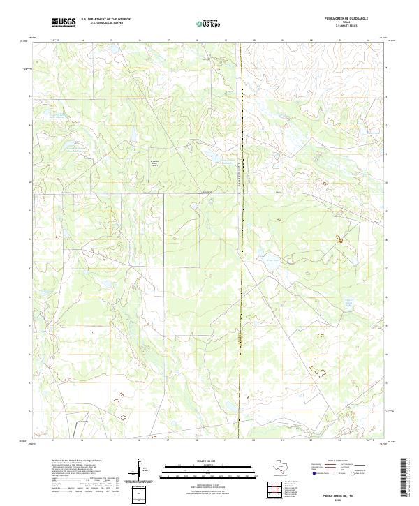
2022 Map of Piedra Creek NE
USGS Topo · Published 2022About this map
The boundary between La Salle and McMullen Counties bisects this ranchland landscape, where a sophisticated network of private infrastructure supports large-scale Texas landholdings. Small airstrips like the El Quinto Ranch Airport and Gould Strip highlight the remote nature of these properties, where aerial access remains vital for management and transport. Water management is the primary defining feature of the terrain, with numerous named catchments such as Welder Lake Number 1 and Hindes Lake dotting the landscape to support cattle and local wildlife.
Find a feature on this map
19 named features on this map. Tap any name to fly to it.
Don’t see what you’re looking for? This feature index may not catch every label — zoom into the map to look around manually.
Map Details
Editions of this 2022 Piedra Creek NE Map
This is the sole edition of this map. No revisions or reprints were ever made.
Other maps of this area

1930 · Tilden
USGS Topo · 1:62,500

1937 · Loma Alta
USGS Topo · 1:62,500

1942 · Fowlerton
USGS Topo · 1:62,500

1942 · Tilden
USGS Topo · 1:62,500

1953 · Crystal City
USGS Topo · 1:250,000

1955 · Crystal City
USGS Topo · 1:250,000

1956 · Piedra Creek
USGS Topo · 1:62,500

1956 · Fowlerton
USGS Topo · 1:62,500

1961 · Crystal City
USGS Topo · 1:250,000

1968 · Crystal City
USGS Topo · 1:250,000