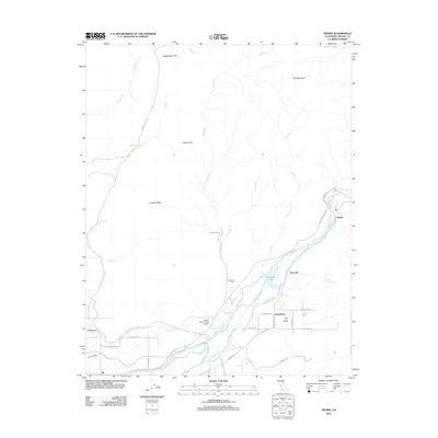
2012 Map of Piedra
USGS Topo · Published 2012About this map
The Kings River flows through this Fresno County landscape, serving as the central artery for a complex network of agricultural infrastructure. The irrigation system is highly developed here, featuring numerous man-made waterways such as the Friant-Kern Canal, Alta Main Canal, Fresno Canal, and the Fowler Switch Canal. These channels define the lowlands near Elk and Gravesboro, supporting the orchards and fields that characterize the region's economy.
Find a feature on this map
44 named features on this map. Tap any name to fly to it.
Don’t see what you’re looking for? This feature index may not catch every label — zoom into the map to look around manually.
Map Details
Editions of this 2012 Piedra Map
This is the sole edition of this map. No revisions or reprints were ever made.
Other maps of this area

1920 · Orangedale School
USGS Topo · 1:24,000

1921 · Squaw Valley
USGS Topo · 1:31,680

1922 · Round Mountain
USGS Topo · 1:31,680

1922 · Trimmer
USGS Topo · 1:96,000

1923 · Academy
USGS Topo · 1:31,680

1923 · Orangedale School
USGS Topo · 1:31,680

1923 · Wahtoke
USGS Topo · 1:31,680

1923 · Sanger
USGS Topo · 1:31,680

1924 · Citrus Cove
USGS Topo · 1:31,680

1924 · Dinuba
USGS Topo · 1:125,000