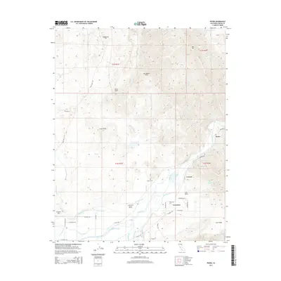
2015 Map of Piedra
USGS Topo · Published 2015About this map
The Kings River flows from the foothills into the eastern San Joaquin Valley, defining the complex water management system of this agricultural landscape. The settlement of Piedra sits at the river's edge, marking the transition from the rugged slopes of Coyote Ridge and Red Mtn to the fertile valley floor. This map documents a dense network of irrigation infrastructure critical to the region's development, including the Friant-Kern Canal, Enterprise Canal, and the Alta Main Canal. The smaller communities of Avocado and Gravesboro are clustered near the river and Avocado Lake, where the terrain flattens into Tivy Valley. Local landmarks like the Hazelton Cem and the Harris River Ranch Airport provide specific points of interest for genealogists and local historians, while the numerous named channels like the Fowler-Switch Canal and Fresno Canal illustrate the sophisticated hydraulic engineering of the Fresno County interior.
Find a feature on this map
53 named features on this map. Tap any name to fly to it.
Don’t see what you’re looking for? This feature index may not catch every label — zoom into the map to look around manually.
Map Details
Editions of this 2015 Piedra Map
This is the sole edition of this map. No revisions or reprints were ever made.
Other maps of this area
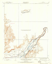
1920 · Orangedale School
USGS Topo · 1:24,000
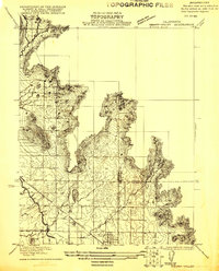
1921 · Squaw Valley
USGS Topo · 1:31,680
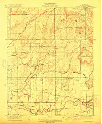
1922 · Round Mountain
USGS Topo · 1:31,680
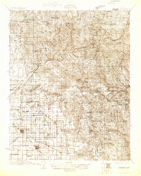
1922 · Trimmer
USGS Topo · 1:96,000
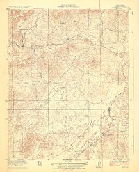
1923 · Academy
USGS Topo · 1:31,680
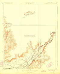
1923 · Orangedale School
USGS Topo · 1:31,680
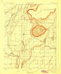
1923 · Wahtoke
USGS Topo · 1:31,680
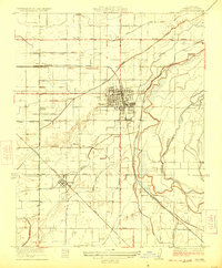
1923 · Sanger
USGS Topo · 1:31,680
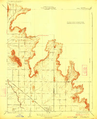
1924 · Citrus Cove
USGS Topo · 1:31,680
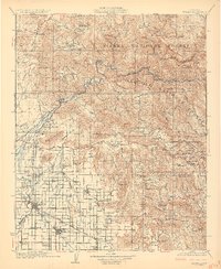
1924 · Dinuba
USGS Topo · 1:125,000