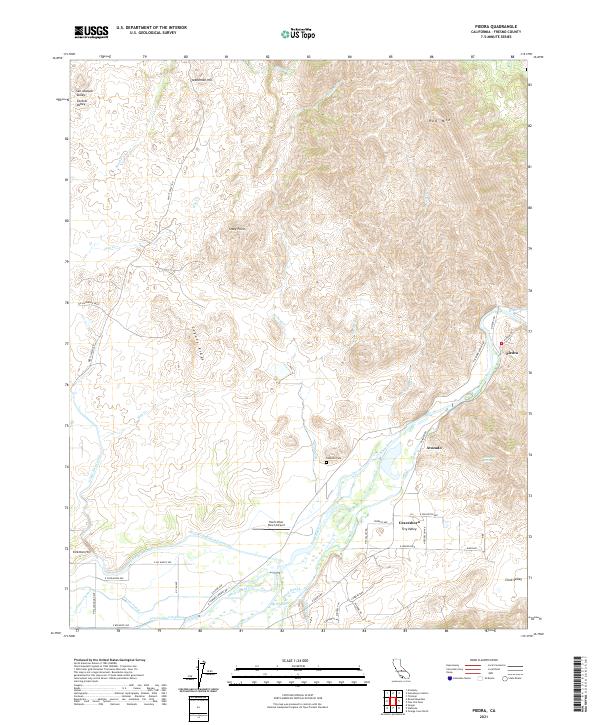
2021 Map of Piedra
USGS Topo · Published 2021About this map
The Kings River flows from the foothills toward the San Joaquin Valley, defining a landscape where mountain ridges meet the sophisticated irrigation networks of the Central Valley. This 2021 survey illustrates the complex water management systems essential to the region's agriculture, including the massive Friant-Kern Canal, the Enterprise Canal, and the Fowler-Switch Canal. Settlements such as Piedra and Avocado are situated at this transition, with the Harris River Ranch Airport and Hazelton Cem serving as local landmarks. The topography rises sharply from the valley floor to features like Coyote Ridge, Red Mtn, and Stephenson Hill, while the historic Tivy Valley and Gravesboro occupy the lower elevations near Byrd Slough.
Find a feature on this map
56 named features on this map. Tap any name to fly to it.
Don’t see what you’re looking for? This feature index may not catch every label — zoom into the map to look around manually.
Map Details
Editions of this 2021 Piedra Map
This is the sole edition of this map. No revisions or reprints were ever made.
Other maps of this area

1920 · Orangedale School
USGS Topo · 1:24,000

1921 · Squaw Valley
USGS Topo · 1:31,680

1922 · Round Mountain
USGS Topo · 1:31,680

1922 · Trimmer
USGS Topo · 1:96,000

1923 · Academy
USGS Topo · 1:31,680

1923 · Orangedale School
USGS Topo · 1:31,680

1923 · Wahtoke
USGS Topo · 1:31,680

1923 · Sanger
USGS Topo · 1:31,680

1924 · Citrus Cove
USGS Topo · 1:31,680

1924 · Dinuba
USGS Topo · 1:125,000