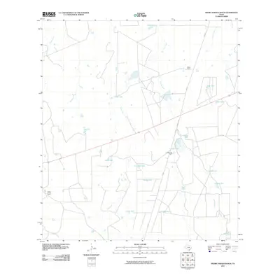
2010 Map of Piedra Parada Ranch
USGS Topo · Published 2010About this map
Piedra Parada Ranch anchors the landscape of this southern Texas cattle-ranching region, where the survival of livestock depends on an intricate system of water management. The terrain is defined by seasonal watercourses like Gato Creek, Salado Creek, and Alamito Creek, which are supplemented by numerous man-made water catchments known locally as tanks. These features, including Scarborough Tank and Plutarco Tank, are scattered across the brushland to support ranching operations. Significant infrastructure such as the Lundell Lake Dam at Lundell Lake and the secondary roads FM 2895 and Ranch RD 2895 facilitate movement through this sparsely populated territory. The presence of Hilltop Ranch and family-named features like Contreras Tank and Beatris Tank reflect the enduring legacy of private land ownership and livestock heritage in Webb County.
Find a feature on this map
25 named features on this map. Tap any name to fly to it.
Don’t see what you’re looking for? This feature index may not catch every label — zoom into the map to look around manually.
Map Details
Editions of this 2010 Piedra Parada Ranch Map
This is the sole edition of this map. No revisions or reprints were ever made.
Other maps of this area
1937 · Aguilete Creek
USGS Topo · 1:62,500
1956 · Becerra
USGS Topo · 1:62,500
1956 · Las Mujeres
USGS Topo · 1:62,500

1956 · Laredo
USGS Topo · 1:250,000
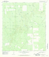
1968 · Mills Bennett SW
USGS Topo · 1:24,000
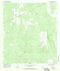
1968 · Mills Bennett NW
USGS Topo · 1:24,000
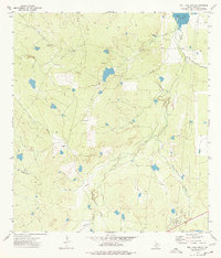
1974 · Biel Lake South
USGS Topo · 1:24,000
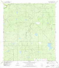
1980 · Alamito Creek
USGS Topo · 1:24,000
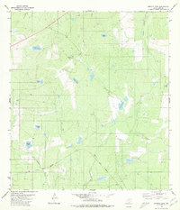
1980 · Burrito Tank
USGS Topo · 1:24,000
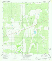
1980 · Piedra Parada Ranch
USGS Topo · 1:24,000