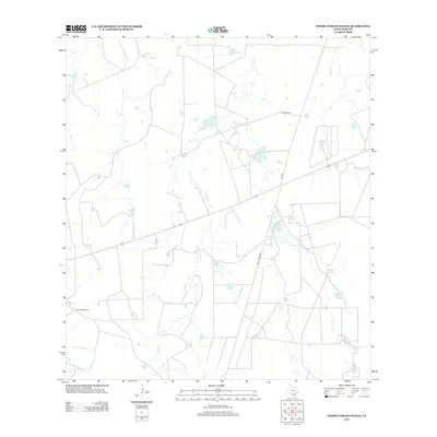
2013 Map of Piedra Parada Ranch
USGS Topo · Published 2013About this map
Piedra Parada Ranch and Hilltop Ranch anchor this landscape of south Texas rangeland, where life and economy revolve around a network of intermittent creeks and man-made water catchments. The map reveals the intricate drainage patterns of Salado Cr, Gato Cr, and Alamito Cr as they cut through the terrain. Numerous tanks, such as Scarborough Tank, Contreras Tank, and Plutarco Tank, are distributed across the land, indicating the essential infrastructure required for ranching in this arid environment. Central to the area's connectivity is Ranch Road 2895, which provides a primary transit corridor through the ranchlands. Features like Lundell Lake and the various branches of Caliche Cr offer further insight into the local hydrology and the careful management of water resources across these Webb County holdings.
Find a feature on this map
24 named features on this map. Tap any name to fly to it.
Don’t see what you’re looking for? This feature index may not catch every label — zoom into the map to look around manually.
Map Details
Editions of this 2013 Piedra Parada Ranch Map
This is the sole edition of this map. No revisions or reprints were ever made.
Other maps of this area
1937 · Aguilete Creek
USGS Topo · 1:62,500
1956 · Becerra
USGS Topo · 1:62,500
1956 · Las Mujeres
USGS Topo · 1:62,500

1956 · Laredo
USGS Topo · 1:250,000
1968 · Mills Bennett SW
USGS Topo · 1:24,000
1968 · Mills Bennett NW
USGS Topo · 1:24,000
1974 · Biel Lake South
USGS Topo · 1:24,000
1980 · Alamito Creek
USGS Topo · 1:24,000
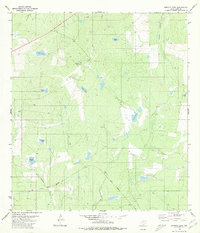
1980 · Burrito Tank
USGS Topo · 1:24,000
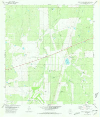
1980 · Piedra Parada Ranch
USGS Topo · 1:24,000