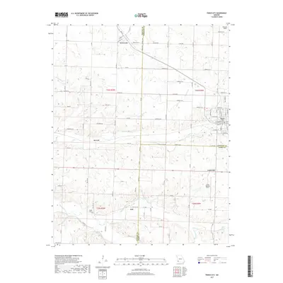
2017 Map of Pierce City
USGS Topo · Published 2017About this map
Pierce City and the neighboring small communities of southwest Missouri are defined by a network of spring-fed creeks and rural crossroads at the intersection of Lawrence, Newton, and Barry counties. The landscape is deeply carved by water, with Shoal Creek and Capps Creek winding through the southern half of the quadrangle, punctuated by natural water sources like Cave Spring and Meane Spring. These watercourses likely influenced the early siting of settlements such as Jolly and Berwick.
Find a feature on this map
92 named features on this map. Tap any name to fly to it.
Don’t see what you’re looking for? This feature index may not catch every label — zoom into the map to look around manually.
Map Details
Editions of this 2017 Pierce City Map
This is the sole edition of this map. No revisions or reprints were ever made.
Other maps of this area

1886 · Greenfield
USGS Topo · 1:125,000

1886 · Carthage
USGS Topo · 1:125,000

1888 · Greenfield
USGS Topo · 1:125,000

1894 · Carthage
USGS Topo · 1:125,000

1921 · Stotts City
USGS Topo · 1:62,500

1921 · Sarcoxie
USGS Topo · 1:62,500

1943 · Ritchey
USGS Topo · 1:62,500

1943 · Monett
USGS Topo · 1:62,500

1945 · Harrison
USGS Topo · 1:250,000

1947 · Joplin
USGS Topo · 1:250,000