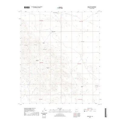
2020 Map of Pierce Peak
USGS Topo · Published 2020About this map
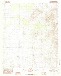
McFarlands and Pierce anchor this high-elevation landscape in the southwestern corner of New Mexico, where the terrain is defined by the sharp rise of the Alamo Hueco Mountains. The map reveals a land managed for water, with numerous tanks and springs distributed across the landscape to support ranching or local survival in an arid environment. Named water sources like The Thicket Spring and Cottonwood Spring are paired with man-made features such as Upper Bull Tank, Lower Bull Tank, and Pierce Tank. Topography is central to the area's identity, featuring prominent landmarks like Pierce Peak, Little Hat Butte, and Hat Top Mtn. The drainages of Bull Cr and Bear Cr cut through the hills, leading into various canyons like Cottonwood Canyon and Sycamore Canyon, providing a detailed look at the rural survey divisions of the T32S and T33S ranges.
Find a feature on this map
29 named features on this map. Tap any name to fly to it.
Don’t see what you’re looking for? This feature index may not catch every label — zoom into the map to look around manually.
Map Details
Editions of this 2020 Pierce Peak Map
This is the sole edition of this map. No revisions or reprints were ever made.
Other maps of this area

1918 · Big Hatchet Peak
USGS Topo · 1:62,500

1918 · Dog Mountains
USGS Topo · 1:62,500

1955 · Douglas
USGS Topo · 1:250,000

1959 · Douglas
USGS Topo · 1:250,000

1961 · Douglas
USGS Topo · 1:250,000

1964 · Douglas
USGS Topo · 1:250,000
1982 · Sheridan Canyon
USGS Topo · 1:24,000
1982 · Pierce Peak
USGS Topo · 1:24,000
1982 · U Bar Ridge
USGS Topo · 1:24,000
1982 · Sentinel Butte
USGS Topo · 1:24,000