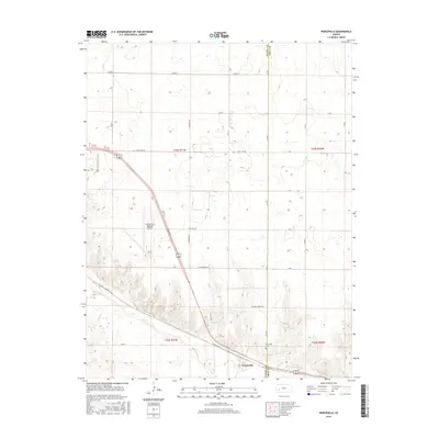
2016 Map of Pierceville
USGS Topo · Published 2016About this map
The Arkansas River winds through the southern portion of this landscape, carving a distinct valley that separates the northern plains from the more textured terrain to the south. In the southeastern corner, the small settlement of Pierceville serves as a focal point, supported by the nearby Pierceville Cem. The infrastructure of the region is heavily influenced by aviation and transport, evidenced by the presence of the Garden City Regional Airport and a grid of rural roads including E Mary St, E Pole Line Rd, and Mansfield Rd. The naming conventions of local thoroughfares such as E Air Base Rd and E Aerodrome Rd reflect the area's historical and functional ties to the regional airport. This 2016 survey illustrates the persistent agricultural and transportation patterns of Finney and Gray counties, showing how the rural road network integrates with the river valley and aviation facilities.
Find a feature on this map
30 named features on this map. Tap any name to fly to it.
Don’t see what you’re looking for? This feature index may not catch every label — zoom into the map to look around manually.
Map Details
Editions of this 2016 Pierceville Map
This is the sole edition of this map. No revisions or reprints were ever made.
Other maps of this area

1896 · Garden
USGS Topo · 1:125,000

1944 · Tennis
USGS Topo · 1:62,500

1955 · Dodge City
USGS Topo · 1:250,000

1955 · Scott City
USGS Topo · 1:250,000

1958 · Dodge City
USGS Topo · 1:250,000

1958 · Scott City
USGS Topo · 1:250,000

1959 · Dodge City
USGS Topo · 1:250,000

1960 · Garden City East
USGS Topo · 1:24,000

1960 · Plymell
USGS Topo · 1:24,000

1967 · Pierceville SW
USGS Topo · 1:24,000