
1967 Map of Pierceville SW
USGS Topo · Published 1969About this map
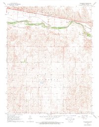
The Arkansas River cuts across the northern edge of this Kansas landscape, defining a narrow corridor of riparian activity against the high plains of Logan, Pierceville, and Ingalls. In the late 1960s, this region was a landscape of extraction and transport, where the Atchison Topeka and Santa Fe railroad tracks paralleled the river's path. South of the water, the terrain is marked by a repetitive grid of land sections dotted with numerous Gas Wells and irrigation Wells, illustrating the heavy reliance on subterranean resources for both energy and agriculture. The intersection of Finney Co and Gray Co borders highlights the administrative divisions of this prairie country, where infrastructure like the Radio Tower and various Gravel Pits served the growing local economy and communication needs of the mid-20th century.
Find a feature on this map
10 named features on this map. Tap any name to fly to it.
Don’t see what you’re looking for? This feature index may not catch every label — zoom into the map to look around manually.
Map Details
Editions of this 1967 Pierceville SW Map
This is the sole edition of this map. No revisions or reprints were ever made.
Other maps of this area

1896 · Garden
USGS Topo · 1:125,000

1955 · Dodge City
USGS Topo · 1:250,000

1958 · Dodge City
USGS Topo · 1:250,000

1959 · Dodge City
USGS Topo · 1:250,000

1959 · Garden City 3 NE
USGS Topo · 1:24,000

1960 · Garden City East
USGS Topo · 1:24,000

1960 · Plymell
USGS Topo · 1:24,000

1967 · Pierceville
USGS Topo · 1:24,000
1968 · Charleston
USGS Topo · 1:24,000
1968 · Pierceville NE
USGS Topo · 1:24,000