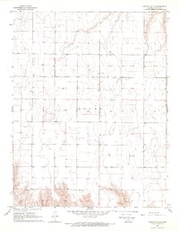
1968 Map of Pierceville NE
USGS Topo · Published 1969About this map
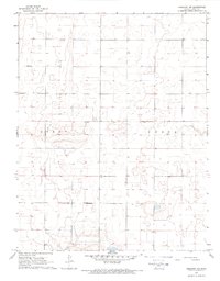
Logan township in Gray County reveals a landscape shaped by agricultural grid systems and the development of mid-century infrastructure. This 1968 field-checked survey shows a network of section lines and fence rows that organize the High Plains terrain. While much of the land is dedicated to farming, specialized aviation and communication features are evident, including the Ingalls Landing Strip and a Radio Facility located in the southern sections. Numerous groundwater access points are documented, marked as Wells and individual Well sites, which were vital for the region's agricultural productivity and rural homesteads during this era. The topography is defined by subtle elevation changes and depressions, characteristic of this part of Kansas before more modern irrigation systems transformed the local geography.
Find a feature on this map
7 named features on this map. Tap any name to fly to it.
Don’t see what you’re looking for? This feature index may not catch every label — zoom into the map to look around manually.
Map Details
Editions of this 1968 Pierceville NE Map
This is the sole edition of this map. No revisions or reprints were ever made.
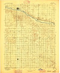
Other maps of this area

1892 · Dodge
USGS Topo · 1:125,000
1896 · Garden
USGS Topo · 1:125,000

1955 · Dodge City
USGS Topo · 1:250,000

1955 · Scott City
USGS Topo · 1:250,000

1958 · Dodge City
USGS Topo · 1:250,000

1958 · Scott City
USGS Topo · 1:250,000

1959 · Dodge City
USGS Topo · 1:250,000
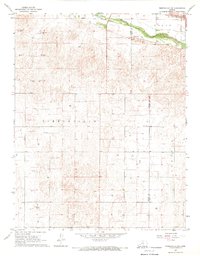
1967 · Pierceville SW
USGS Topo · 1:24,000
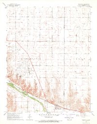
1967 · Pierceville
USGS Topo · 1:24,000
1968 · Cimarron NW
USGS Topo · 1:24,000