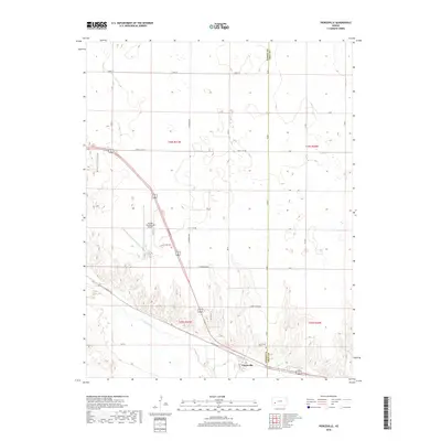
2018 Map of Pierceville
USGS Topo · Published 2018About this map
Pierceville sits along the northern banks of the Arkansas River, marking a focal point where the agricultural plains meet the river valley. This landscape is defined by the rigid section lines of the Public Land Survey System, with township boundaries like t25s r31w and t25s r30w organizing the vast tracts of farmland. The settlement is anchored by the Pierceville Cem, providing a point of interest for those researching local family histories in Finney County.
Find a feature on this map
31 named features on this map. Tap any name to fly to it.
Don’t see what you’re looking for? This feature index may not catch every label — zoom into the map to look around manually.
Map Details
Editions of this 2018 Pierceville Map
This is the sole edition of this map. No revisions or reprints were ever made.
Other maps of this area

1896 · Garden
USGS Topo · 1:125,000

1944 · Tennis
USGS Topo · 1:62,500

1955 · Dodge City
USGS Topo · 1:250,000

1955 · Scott City
USGS Topo · 1:250,000

1958 · Dodge City
USGS Topo · 1:250,000

1958 · Scott City
USGS Topo · 1:250,000

1959 · Dodge City
USGS Topo · 1:250,000

1960 · Garden City East
USGS Topo · 1:24,000

1960 · Plymell
USGS Topo · 1:24,000

1967 · Pierceville SW
USGS Topo · 1:24,000