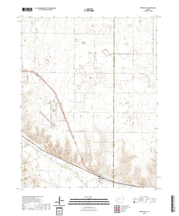
2022 Map of Pierceville
USGS Topo · Published 2022About this map
Arkansas River flows through the southern reaches of this landscape, carving a low valley through the High Plains along the border of Finney and Gray counties. The town of Pierceville serves as the primary settlement hub, situated just north of the river and south of the sprawling grounds of the Garden City Regional Airport. This facility dominates the central portion of the map, surrounded by a specialized road network including E Air Base Rd, E Aerodrome Rd, and E Eighth Port Dr, which speaks to the area's aviation and transport infrastructure.
Find a feature on this map
31 named features on this map. Tap any name to fly to it.
Don’t see what you’re looking for? This feature index may not catch every label — zoom into the map to look around manually.
Map Details
Editions of this 2022 Pierceville Map
This is the sole edition of this map. No revisions or reprints were ever made.
Other maps of this area

1896 · Garden
USGS Topo · 1:125,000

1944 · Tennis
USGS Topo · 1:62,500

1955 · Dodge City
USGS Topo · 1:250,000

1955 · Scott City
USGS Topo · 1:250,000

1958 · Dodge City
USGS Topo · 1:250,000

1958 · Scott City
USGS Topo · 1:250,000

1959 · Dodge City
USGS Topo · 1:250,000

1960 · Garden City East
USGS Topo · 1:24,000

1960 · Plymell
USGS Topo · 1:24,000

1967 · Pierceville SW
USGS Topo · 1:24,000