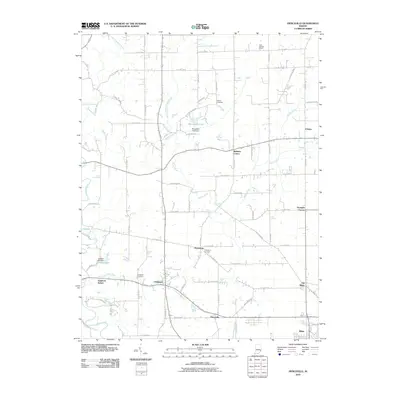
2010 Map of Pierceville
USGS Topo · Published 2010About this map
Laughery Creek and its various tributaries define this section of Ripley County, where a network of rural settlements centers on Milan and Pierceville. The landscape is a patchwork of small crossroads and agricultural communities, including the distinct separation between the modern center and Old Milan. The area is notably dense with localized family and community landmarks, such as Adams Cemetery, Prattsburg Cemetery, and Delaware Cemetery, which offer significant value for genealogical research in this part of Indiana.
Find a feature on this map
58 named features on this map. Tap any name to fly to it.
Don’t see what you’re looking for? This feature index may not catch every label — zoom into the map to look around manually.
Map Details
Editions of this 2010 Pierceville Map
This is the sole edition of this map. No revisions or reprints were ever made.
Other maps of this area

1946 · Versailles
USGS Topo · 1:24,000

1946 · Milan
USGS Topo · 1:24,000

1946 · Pierceville
USGS Topo · 1:24,000

1946 · Batesville
USGS Topo · 1:24,000

1946 · Osgood
USGS Topo · 1:24,000

1946 · New Point
USGS Topo · 1:24,000

1953 · Cincinnati
USGS Topo · 1:250,000

1957 · Cincinnati
USGS Topo · 1:250,000

1958 · Spades
USGS Topo · 1:24,000

1958 · Sunman
USGS Topo · 1:24,000