
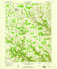
1958 Map of Sunman
USGS Topo · Published 1959About this map
The New York Central railroad corridor anchors the northern landscape of this late-1950s survey, connecting the town of Sunman with smaller rural centers like Weisburg. This era reveals a high density of rural institutions across the Dearborn and Ripley county line, including many churches such as St Johns Ch and St Pauls Ch, alongside the Township Sch. The topography is defined by the branching drainages of West Fork Tanners Creek and North Hogan Creek, which carve deep valleys between named heights like Ester Ridge and Holman Ridge. For the local historian, the map preserves the exact locations of civic landmarks like the County Home and several outlying burial grounds, including Franklin Cem and Ransom Cem. Settlement patterns follow the winding ridge roads, with clusters at Hubbells Corner and New Alsace illustrating the enduring layout of these rural Indiana communities.
Find a feature on this map
43 named features on this map. Tap any name to fly to it.
Don’t see what you’re looking for? This feature index may not catch every label — zoom into the map to look around manually.
Map Details
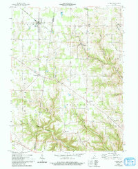
Editions of this 1958 Sunman Map
3 editions found
Other maps of this area

1915 · Lawrenceburg
USGS Topo · 1:48,000

1915 · Harrison
USGS Topo · 1:48,000

1928 · Lawrenceburg
USGS Topo · 1:62,500

1932 · Lawrenceburg
USGS Topo · 1:62,500

1943 · Aurora
USGS Topo · 1:24,000

1943 · Guilford
USGS Topo · 1:24,000

1946 · Milan
USGS Topo · 1:24,000

1946 · Pierceville
USGS Topo · 1:24,000

1946 · Batesville
USGS Topo · 1:24,000

1953 · Aurora
USGS Topo · 1:24,000