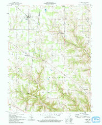
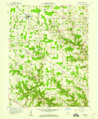
1958 Map of Sunman
USGS Topo · Published 1994About this map
Sunman and its surrounding rural communities in Ripley and Dearborn Counties are captured here during a period of steady mid-century transition. The landscape is defined by the New York Central railroad corridor, which links the villages of Weisburg and Sunman, facilitating the regional movement of goods through this agricultural heartland. The map reveals a dense network of local landmarks essential to 1950s community life, including the Township Sch, St Johns Ch, and the County Home.
Find a feature on this map
45 named features on this map. Tap any name to fly to it.
Don’t see what you’re looking for? This feature index may not catch every label — zoom into the map to look around manually.
Map Details
Editions of this 1958 Sunman Map
3 editions found

Other maps of this area

1915 · Lawrenceburg
USGS Topo · 1:48,000

1915 · Harrison
USGS Topo · 1:48,000

1928 · Lawrenceburg
USGS Topo · 1:62,500

1932 · Lawrenceburg
USGS Topo · 1:62,500

1943 · Aurora
USGS Topo · 1:24,000

1943 · Guilford
USGS Topo · 1:24,000

1946 · Milan
USGS Topo · 1:24,000

1946 · Pierceville
USGS Topo · 1:24,000

1946 · Batesville
USGS Topo · 1:24,000

1953 · Aurora
USGS Topo · 1:24,000