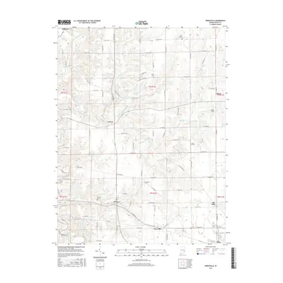
2016 Map of Pierceville
USGS Topo · Published 2016About this map
Milan and the neighboring settlement of Old Milan anchor the southeastern corner of this Ripley County landscape, where the headwaters of Ripley Creek and S Hogan Cr carve through the Indiana countryside. The map reveals a high concentration of localized history, particularly through its small rural hamlets like Delaware, Pierceville, and Ballstown. These settlements are interconnected by a dense grid of township roads such as E Mud Pike Rd and W Indian Trl, reflecting a long-standing agricultural and residential pattern. Genealogical interest is prominent throughout the quadrangle, with several established burial grounds including Little Memory Church Cem and Prattsburg Cem. Small-scale aviation also leaves its mark on the land via Buell Airport and Lewis Airfield, while water bodies like Broughton Lake and Paradise Lake provide distinct geographic landmarks amidst the drainages of Laughery Creek.
Find a feature on this map
72 named features on this map. Tap any name to fly to it.
Don’t see what you’re looking for? This feature index may not catch every label — zoom into the map to look around manually.
Map Details
Editions of this 2016 Pierceville Map
This is the sole edition of this map. No revisions or reprints were ever made.
Other maps of this area

1946 · Versailles
USGS Topo · 1:24,000

1946 · Milan
USGS Topo · 1:24,000

1946 · Pierceville
USGS Topo · 1:24,000

1946 · Batesville
USGS Topo · 1:24,000

1946 · Osgood
USGS Topo · 1:24,000

1946 · New Point
USGS Topo · 1:24,000

1953 · Cincinnati
USGS Topo · 1:250,000

1957 · Cincinnati
USGS Topo · 1:250,000

1958 · Spades
USGS Topo · 1:24,000

1958 · Sunman
USGS Topo · 1:24,000