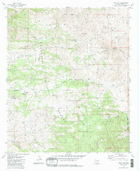
1981 Map of Piety Hill
USGS Topo · Published 1981About this map
The Coronado National Forest landscape shown here in the early 1980s is defined by a complex network of canyons and water-management features critical for ranching in the Rincon Mountains. The map reveals how the terrain was utilized for livestock, evidenced by the Bullock Corrals and the Youtcy Ranch, with numerous artificial catchments like White Tank, Buckhorn Tank, and Italian Trap Tank scattered across the drainage basins.
Find a feature on this map
58 named features on this map. Tap any name to fly to it.
Don’t see what you’re looking for? This feature index may not catch every label — zoom into the map to look around manually.
Map Details
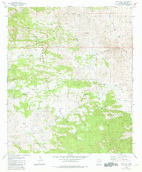
Editions of this 1981 Piety Hill Map
2 editions found
Other maps of this area

1904 · Tucson
USGS Topo · 1:125,000

1905 · Tucson
USGS Topo · 1:125,000

1945 · Redington
USGS Topo · 1:62,500

1945 · Happy Valley
USGS Topo · 1:62,500

1956 · Tucson
USGS Topo · 1:250,000

1957 · Bellota Ranch
USGS Topo · 1:62,500

1957 · Rincon Valley
USGS Topo · 1:62,500

1957 · Redington
USGS Topo · 1:62,500

1958 · Tucson
USGS Topo · 1:250,000

1958 · Happy Valley
USGS Topo · 1:62,500