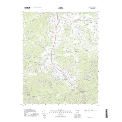
2019 Map of Pigeon Forge
USGS Topo · Published 2019About this map
Pigeon Forge and Sevierville anchor this topographic study, showcasing the dense network of roadways and development along the West Prong Little Pigeon River. The map provides an intricate look at the suburban expansion of Cherokee Hills and Conner Heights, set against the northern boundary of the Great Smoky Mountains National Park.
Find a feature on this map
75 named features on this map. Tap any name to fly to it.
Don’t see what you’re looking for? This feature index may not catch every label — zoom into the map to look around manually.
Map Details
Editions of this 2019 Pigeon Forge Map
This is the sole edition of this map. No revisions or reprints were ever made.
Other maps of this area

1886 · Knoxville
USGS Topo · 1:125,000

1892 · Knoxville
USGS Topo · 1:125,000

1893 · Mt Guyot
USGS Topo · 1:125,000

1894 · Knoxville
USGS Topo · 1:125,000

1895 · Knoxville
USGS Topo · 1:125,000

1901 · Knoxville
USGS Topo · 1:125,000

1912 · Mt Guyot
USGS Topo · 1:125,000

1935 · English Mountain
USGS Topo · 1:48,000

1935 · Walden Creek
USGS Topo · 1:24,000

1935 · Richardson Cove
USGS Topo · 1:24,000
Featured Places
- Sevierville, TN
- Pigeon Forge, TN
- Little Cove, TN
- Henderson Springs, Pigeon Forge
- Pine Grove, Pigeon Forge