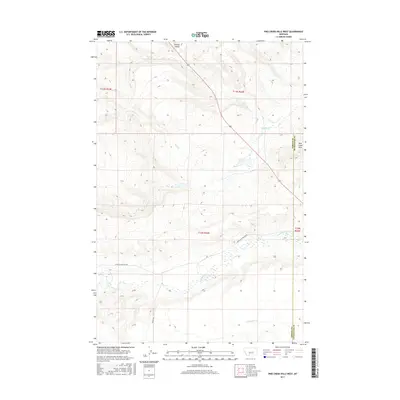
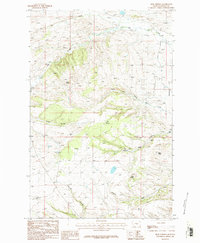
2017 Map of Pike Creek Hills West
USGS Topo · Published 2017About this map
The Pike Creek Hills dominate this portion of the Montana landscape along the border of Fergus and Petroleum counties. This modern topographic survey illustrates a network of drainage features including Kinnick Coulee and Pike Cr, which feed into the larger regional water systems. The map captures the vast, open character of central Montana, where land management is defined by the Public Land Survey System, as seen in the prominent township and range lines. Transportation in this sparsely populated area is centered on Highway 87, which cuts across the northern terrain, and rural routes like Upper Flatwillow Rd and Graves Rd. The presence of several seasonal and perennial streams, such as Flatwillow Cr and Buck Cr, provides insight into the hydrology that once supported the early ranching and homesteading efforts in this high-plains environment.
Find a feature on this map
15 named features on this map. Tap any name to fly to it.
Don’t see what you’re looking for? This feature index may not catch every label — zoom into the map to look around manually.
Map Details
Editions of this 2017 Pike Creek Hills West Map
This is the sole edition of this map. No revisions or reprints were ever made.
Other maps of this area

1954 · Roundup
USGS Topo · 1:250,000

1958 · Roundup
USGS Topo · 1:250,000
1986 · Tyler
USGS Topo · 1:24,000
1986 · Snoose Creek
USGS Topo · 1:24,000
1986 · Pender Coulee
USGS Topo · 1:24,000
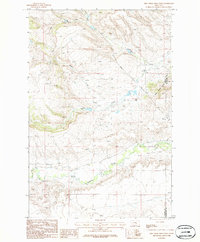
1986 · Pike Creek Hills West
USGS Topo · 1:24,000
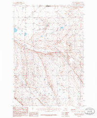
1986 · Lake Mason NE
USGS Topo · 1:24,000
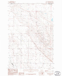
1986 · Lake Mason NW
USGS Topo · 1:24,000
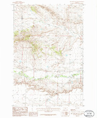
1986 · Pike Creek Hills East
USGS Topo · 1:24,000
1986 · Milk Springs
USGS Topo · 1:24,000