
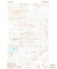
1986 Map of Pike Creek Hills East
USGS Topo · Published 1986About this map
Pike Creek Hills dominate the topography of this central Montana landscape, where the high flat of Lamberts Bench transitions into a complex system of drainage and relief. The area is defined by the seasonal and perennial watercourses of Pike Creek and Flatwillow Creek, which have shaped the movement of people and livestock across the prairie. A distinct marker of former land management and irrigation attempts is the Abandoned Ditch, providing evidence of the human effort to divert water in this semi-arid environment. The boundary between Fergus and Petroleum counties bisects the northwestern portion of the map, illustrating how administrative lines were drawn across the natural folds of the Montana hills during the mid-to-late twentieth century.
Find a feature on this map
6 named features on this map. Tap any name to fly to it.
Don’t see what you’re looking for? This feature index may not catch every label — zoom into the map to look around manually.
Map Details
Editions of this 1986 Pike Creek Hills East Map
This is the sole edition of this map. No revisions or reprints were ever made.
Other maps of this area

1954 · Roundup
USGS Topo · 1:250,000

1958 · Roundup
USGS Topo · 1:250,000

1986 · Snoose Creek
USGS Topo · 1:24,000

1986 · Pike Creek Hills West
USGS Topo · 1:24,000

1986 · Lake Mason NE
USGS Topo · 1:24,000

1986 · Lake Mason NW
USGS Topo · 1:24,000

1986 · Flatwillow
USGS Topo · 1:24,000

1986 · Big Wall NW
USGS Topo · 1:24,000

1986 · Milk Springs
USGS Topo · 1:24,000
1986 · Yellow Water Reservoir
USGS Topo · 1:24,000