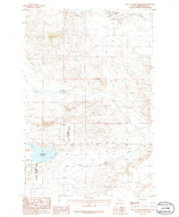
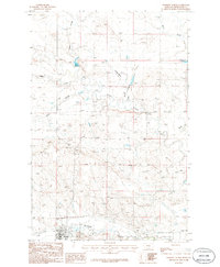
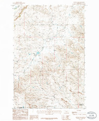
1986 Map of Yellow Water Reservoir
USGS Topo · Published 1986About this map
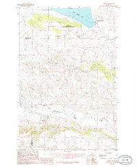
War Horse National Wildlife Refuge dominates the southwestern portion of this landscape in Petroleum County, Montana. The terrain is defined by the significant hydrological feature of the Yellow Water Reservoir, which sits at the heart of a complex drainage network. Water flows through the prairie via Yellow Water Creek and its surrounding tributaries, including Snoose Creek and Elk Creek. A prominent Spillway at the reservoir indicates the managed nature of the water resources in this part of the state, serving agricultural or conservation purposes in an otherwise arid environment. Farther north, the course of McDonald Creek carves through the topography, illustrating the natural erosion patterns and land use of the mid-1980s. This survey, compiled from 1970s aerial photography, provides a clear record of the boundary between protected wildlife areas and the open range.
Find a feature on this map
7 named features on this map. Tap any name to fly to it.
Don’t see what you’re looking for? This feature index may not catch every label — zoom into the map to look around manually.
Map Details
Editions of this 1986 Yellow Water Reservoir Map
This is the sole edition of this map. No revisions or reprints were ever made.
Other maps of this area

1954 · Roundup
USGS Topo · 1:250,000

1954 · Lewistown
USGS Topo · 1:250,000

1958 · Roundup
USGS Topo · 1:250,000

1959 · Lewistown
USGS Topo · 1:250,000
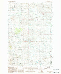
1986 · Snoose Creek
USGS Topo · 1:24,000
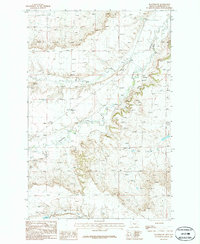
1986 · Flatwillow
USGS Topo · 1:24,000
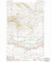
1986 · Pike Creek Hills East
USGS Topo · 1:24,000
1986 · Winnett North
USGS Topo · 1:24,000
1986 · Crowley Dam
USGS Topo · 1:24,000
1986 · Teigen
USGS Topo · 1:24,000