
1986 Map of Winnett North
USGS Topo · Published 1986About this map
Winnett serves as the primary hub on this central Montana survey, situated just north of Mc Donald Creek. The landscape is defined by an intricate network of drainages, including the prominent Box Elder Creek and a series of coulees such as Shale Coulee, Buffalo Coulee, and Chokecherry Coulee. These features illustrate the erosion patterns characteristic of the Petroleum County terrain, where water remains the primary architect of the geography.
Find a feature on this map
18 named features on this map. Tap any name to fly to it.
Don’t see what you’re looking for? This feature index may not catch every label — zoom into the map to look around manually.
Map Details
Editions of this 1986 Winnett North Map
This is the sole edition of this map. No revisions or reprints were ever made.
Other maps of this area

1954 · Roundup
USGS Topo · 1:250,000

1954 · Lewistown
USGS Topo · 1:250,000

1958 · Roundup
USGS Topo · 1:250,000

1959 · Lewistown
USGS Topo · 1:250,000

1963 · Petrolia Lake
USGS Topo · 1:24,000

1986 · Ingals Dam
USGS Topo · 1:24,000

1986 · Dry Blood Creek West
USGS Topo · 1:24,000

1986 · Dry Blood Creek East
USGS Topo · 1:24,000
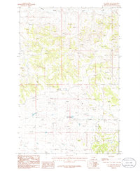
1986 · Cat Creek NW
USGS Topo · 1:24,000
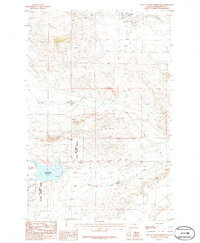
1986 · Yellow Water Reservoir
USGS Topo · 1:24,000