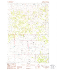
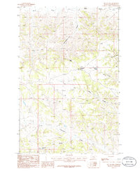
1986 Map of Cat Creek NW
USGS Topo · Published 1986About this map
The rolling drainage systems of Petroleum County define this 1986 survey, which documents a landscape largely shaped by its hydrology and resource potential. Blood Creek meanders across the northern reaches, while Cottonwood Creek cuts through the central and southern portions of the quadrangle. This area is characterized by scattered Well sites, reflecting the region's historical connection to early 20th-century oil exploration and groundwater development. The map provides a high-resolution look at the intricate elevation changes between these creek beds, capturing the geography of central Montana just as modern surveying techniques were transitioning into digital standards.
Find a feature on this map
4 named features on this map. Tap any name to fly to it.
Don’t see what you’re looking for? This feature index may not catch every label — zoom into the map to look around manually.
Map Details
Editions of this 1986 Cat Creek NW Map
This is the sole edition of this map. No revisions or reprints were ever made.
Other maps of this area

1954 · Lewistown
USGS Topo · 1:250,000

1959 · Lewistown
USGS Topo · 1:250,000
1985 · Kirkendal Flat
USGS Topo · 1:24,000

1985 · Brown Spring
USGS Topo · 1:24,000
1985 · Davis Spring
USGS Topo · 1:24,000
1986 · Cat Creek
USGS Topo · 1:24,000

1986 · Ingals Dam
USGS Topo · 1:24,000

1986 · Winnett North
USGS Topo · 1:24,000
1986 · Tin Can Hill
USGS Topo · 1:24,000

1986 · Dry Blood Creek East
USGS Topo · 1:24,000