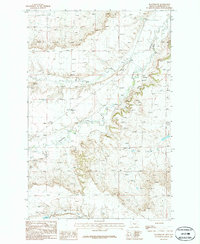
1986 Map of Flatwillow
USGS Topo · Published 1986This historical map portrays the area of Flatwillow in 1986, primarily covering Petroleum County. Featuring a scale of 1:24000, this map provides a highly detailed snapshot of the terrain, roads, buildings, counties, and historical landmarks in the Flatwillow region at the time. Published in 1986, it is the sole known edition of this map.
Map Details
Editions of this 1986 Flatwillow Map
This is the sole edition of this map. No revisions or reprints were ever made.
Historical Maps of Petroleum County Through Time
34 maps found
1962 Maxwell Ranch
Petroleum County, MT
1962 Mosby
Petroleum County, MT
1963 Breed Spring
Petroleum County, MT
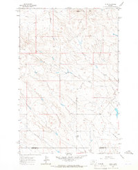
1963 Kelley
Petroleum County, MT
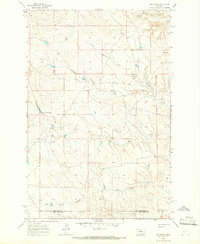
1963 Mud Spring
Petroleum County, MT
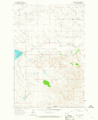
1963 Petrolia Lake
Petroleum County, MT
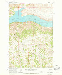
1965 Chain Buttes
Petroleum County, MT
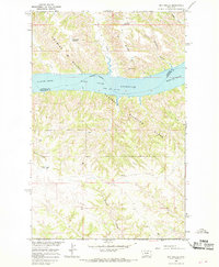
1965 Dry Coulee
Petroleum County, MT
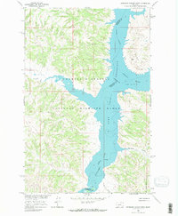
1965 Germaine Coulee West
Petroleum County, MT
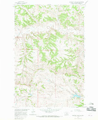
1965 Weingart Place NW
Petroleum County, MT
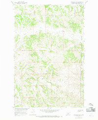
1965 Weingart Place
Petroleum County, MT
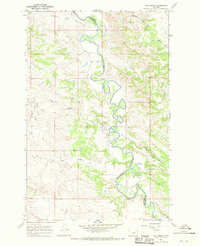
1967 Fail Ranch
Petroleum County, MT
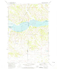
1971 Hanson Flat
Petroleum County, MT
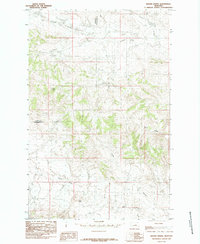
1985 Brown Spring
Petroleum County, MT
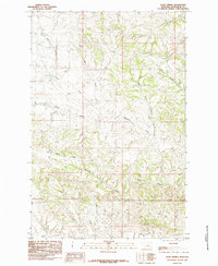
1985 Davis Spring
Petroleum County, MT
1985 Dovetail Butte
Petroleum County, MT
1985 Kirkendal Flat
Petroleum County, MT
1986 Cat Creek NW
Petroleum County, MT
1986 Cat Creek
Petroleum County, MT
1986 Crowley Dam
Petroleum County, MT
1986 Dry Blood Creek East
Petroleum County, MT
1986 Dry Blood Creek West
Petroleum County, MT

1986 Flatwillow
Petroleum County, MT
1986 Ingals Dam
Petroleum County, MT
1986 Little Bear Lake
Petroleum County, MT
1986 Pike Creek Hills East
Petroleum County, MT
1986 Snoose Creek
Petroleum County, MT
1986 Teigen NW
Petroleum County, MT
1986 Teigen
Petroleum County, MT
1986 Tin Can Hill
Petroleum County, MT
1986 Wild Horse Lake
Petroleum County, MT
1986 Winnett North
Petroleum County, MT
1986 Winnett South
Petroleum County, MT
1986 Yellow Water Reservoir
Petroleum County, MT